Gwalior night lights from space
Night Light of Gwalior (Madhya Pradesh) from space (India) Src. Average luminocity for 10x10km area is 97.4683% and for 50x50km: 22.8406%.
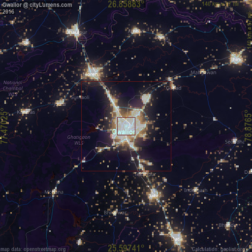
Analysis of Gwalior night lights 2016
Square area 10x10 km:
 49.4%
49.4%90-99
40.48%80-89
9.52%70-79
0.6%60-69
0%50-59
0%40-49
0%30-39
0%20-29
0%10-19
0%0-9
0%Square area 50x50 km:
3.86%90-99
5.45%80-89
2.91%70-79
1.8%60-69
1.89%50-59
3.05%40-49
3.12%30-39
2.98%20-29
6.73%10-19
13.51%0-9
54.7%Clear (daylight) street map image can be seen on geolist.org.
Map coordinates:
26° 51' 31.8" North, 77° 28' 12.9" East
26° 13' 47.4" North, 78° 10' 24.1" East
25° 35' 50.7" North, 78° 52' 35.4" East
Some cities around Gwalior sort by population:
• Morena
34.8 km =21.6 mi,  329°
329°
• Dabra
41.4 km =25.7 mi,  157°
157°
• Gohadi
35 km =21.7 mi,  49°
49°
• Morār
5.1 km =3.2 mi,  94°
94°
• Jora
38.4 km =23.9 mi,  288°
288°
• Bhitarwār
49.1 km =30.5 mi,  187°
187°
• Tekanpur
28.4 km =17.6 mi, 157°
• Antri
19.5 km =12.1 mi,  169°
169°
1270583 (p: 882,458)
Sources (retrieved 2019-11-25):
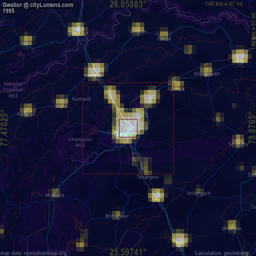
» NASA, Earths city lights 1995
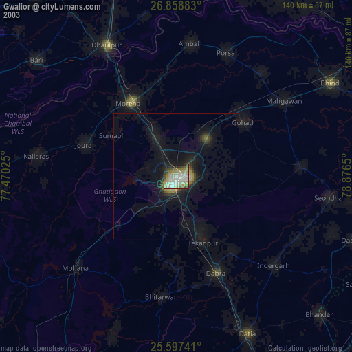
» NASA city lights 2003
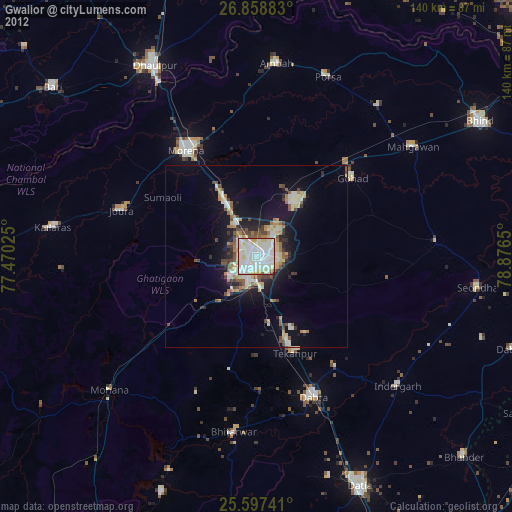
» Earth at Night: Flat Maps 2012, 2016