Gohadi night lights from space
Night Light of Gohadi (Madhya Pradesh) from space (India) Src. Average luminocity for 10x10km area is 21.0739% and for 50x50km: 9.3554%.

Analysis of Gohadi night lights 2016
Square area 10x10 km:
 1.14%
1.14%90-99
3.41%80-89
3.41%70-79
2.65%60-69
2.84%50-59
3.22%40-49
4.36%30-39
3.22%20-29
1.89%10-19
14.96%0-9
58.9%Square area 50x50 km:
1.34%90-99
2.08%80-89
1.06%70-79
0.75%60-69
0.93%50-59
1.2%40-49
1.57%30-39
1.42%20-29
2.65%10-19
4.08%0-9
82.92%Clear (daylight) street map image can be seen on geolist.org.
Map coordinates:
27° 3' 38.4" North, 77° 44' 20.1" East
26° 25' 58" North, 78° 26' 31.4" East
25° 48' 5.2" North, 79° 8' 42.6" East
Some cities around Gohadi sort by population:
• Gwalior
35 km =21.7 mi,  229°
229°
• Bhind
37.4 km =23.2 mi,  66°
66°
• Morena
45.1 km =28 mi,  279°
279°
• Morār
31.5 km =19.6 mi,  223°
223°
• Ambāh
37 km =23 mi,  324°
324°
• Porsa
27.8 km =17.3 mi,  345°
345°
• Mau
29.4 km =18.3 mi,  129°
129°
• Mahgawān
18.6 km =11.6 mi, 68°
1271083 (p: 51,635)
Sources (retrieved 2019-11-25):
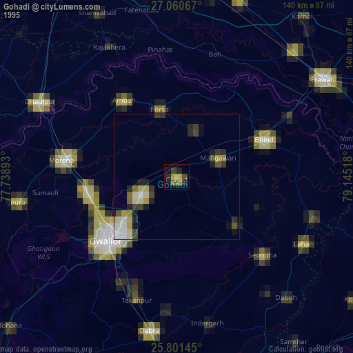
» NASA, Earths city lights 1995
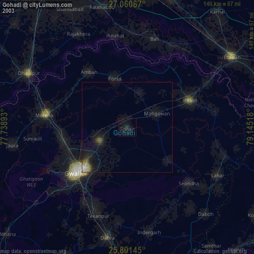
» NASA city lights 2003
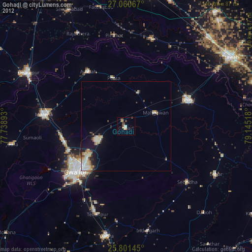
» Earth at Night: Flat Maps 2012, 2016