Morādābād night lights from space
Night Light of Morādābād (Uttar Pradesh) from space (India) Src. Average luminocity for 10x10km area is 81.1117% and for 50x50km: 29.0138%.
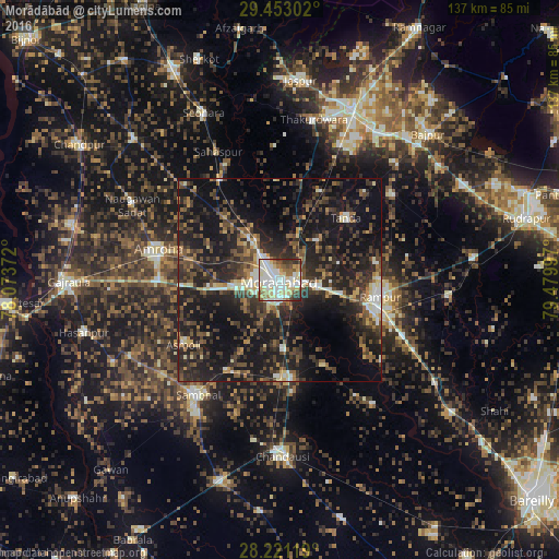
Analysis of Morādābād night lights 2016
Square area 10x10 km:
 22.54%
90-99
27.65%80-89
18.94%70-79
3.22%60-69
8.14%50-59
5.87%40-49
4.92%30-39
6.63%20-29
2.08%10-19
0%0-9
0%Square area 50x50 km:
2.26%90-99
3.82%80-89
2.91%70-79
2.23%60-69
3.21%50-59
4.97%40-49
6.82%30-39
8.56%20-29
12.9%10-19
28.19%0-9
24.14%Clear (daylight) street map image can be seen on geolist.org.
Map coordinates:
29° 27' 10.9" North, 78° 4' 25.4" East
28° 50' 20.1" North, 78° 46' 36.6" East
28° 13' 16.3" North, 79° 28' 47.9" East
Some cities around Morādābād sort by population:
• Rāmpur
24.6 km =15.3 mi,  97°
97°
• Amroha
30.7 km =19.1 mi,  283°
283°
• Tānda
22.2 km =13.8 mi,  46°
46°
• Bilāri
24.3 km =15.1 mi,  173°
173°
• Suār
34.4 km =21.4 mi, 52°
• Kundarkhi
17.4 km =10.8 mi,  177°
177°
• Kānth
28.4 km =17.6 mi,  329°
329°
• Sirsi
25.8 km =16 mi,  210°
210°
1262801 (p: 721,139)
Sources (retrieved 2019-11-25):
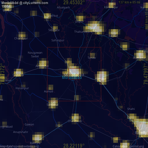
» NASA, Earths city lights 1995
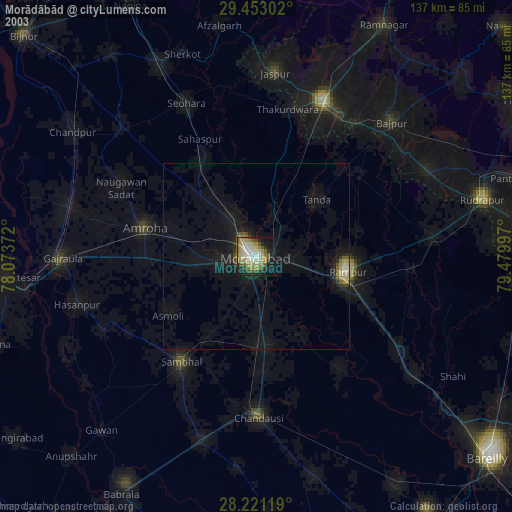
» NASA city lights 2003
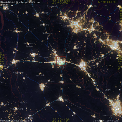
» Earth at Night: Flat Maps 2012, 2016