Amroha night lights from space
Night Light of Amroha (Uttar Pradesh) from space (India) Src. Average luminocity for 10x10km area is 57.1667% and for 50x50km: 30.6548%.
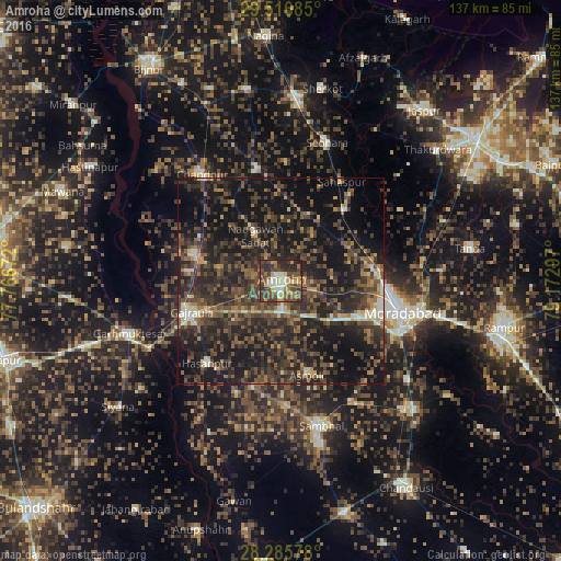
Analysis of Amroha night lights 2016
Square area 10x10 km:
 4.17%
4.17%90-99
11.71%80-89
10.32%70-79
6.55%60-69
8.73%50-59
8.53%40-49
22.82%30-39
12.1%20-29
14.48%10-19
0.6%0-9
0%Square area 50x50 km:
0.9%90-99
2.44%80-89
2.43%70-79
2.54%60-69
4.22%50-59
6.48%40-49
10.46%30-39
11.62%20-29
15.76%10-19
28.88%0-9
14.26%Clear (daylight) street map image can be seen on geolist.org.
Map coordinates:
29° 31' 0.7" North, 77° 46' 0.2" East
28° 54' 11.3" North, 78° 28' 11.4" East
28° 17' 8.8" North, 79° 10' 22.7" East
Some cities around Amroha sort by population:
• Hasanpur
27 km =16.8 mi,  221°
221°
• Gajraula
23.3 km =14.5 mi,  254°
254°
• Nūrpur
28 km =17.4 mi,  347°
347°
• Bachhraon
23.1 km =14.4 mi,  276°
276°
• Dhanaura
21.7 km =13.5 mi,  286°
286°
• Kānth
23.3 km =14.5 mi,  41°
41°
• Sahaspur
28.4 km =17.6 mi,  31°
31°
• Tājpur
28.9 km =18 mi,  2°
2°
1278708 (p: 176,253)
Sources (retrieved 2019-11-25):
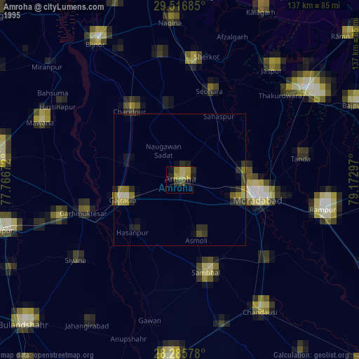
» NASA, Earths city lights 1995
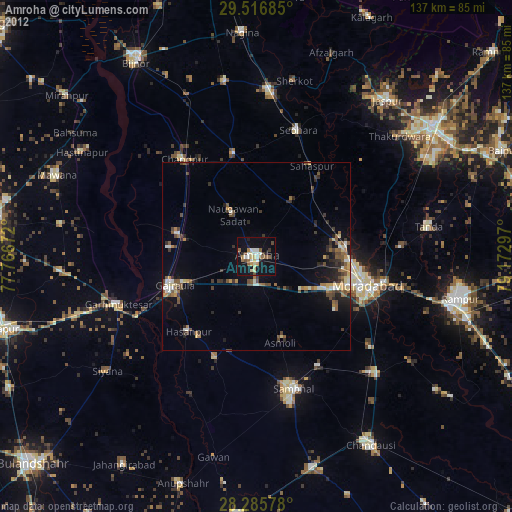
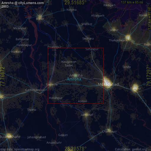
» NASA city lights 2003
» Earth at Night: Flat Maps 2012, 2016