Sirsi night lights from space
Night Light of Sirsi (Uttar Pradesh) from space (India) Src. Average luminocity for 10x10km area is 27.9413% and for 50x50km: 28.8605%.
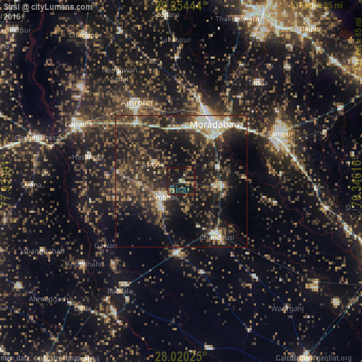
Analysis of Sirsi night lights 2016
Square area 10x10 km:
 0.76%
0.76%90-99
1.14%80-89
0.57%70-79
2.46%60-69
6.82%50-59
6.44%40-49
6.82%30-39
5.68%20-29
12.88%10-19
55.11%0-9
1.33%Square area 50x50 km:
1.68%90-99
3.38%80-89
3.12%70-79
2.35%60-69
3.36%50-59
5.52%40-49
8.27%30-39
9.29%20-29
14%10-19
22.45%0-9
26.58%Clear (daylight) street map image can be seen on geolist.org.
Map coordinates:
29° 15' 16" North, 77° 56' 23.7" East
28° 38' 21" North, 78° 38' 34.9" East
28° 1' 12.9" North, 79° 20' 46.2" East
Some cities around Sirsi sort by population:
• Morādābād
25.8 km =16 mi,  30°
30°
• Sambhal
9.4 km =5.8 mi,  229°
229°
• Amroha
33.9 km =21.1 mi,  330°
330°
• Chanduasi
24.9 km =15.5 mi,  146°
146°
• Bahjoi
27.2 km =16.9 mi,  183°
183°
• Bilāri
15.8 km =9.8 mi,  97°
97°
• Kundarkhi
14.7 km =9.1 mi,  70°
70°
• Narauli
18.5 km =11.5 mi,  157°
157°
1256040 (p: 22,549)
Sources (retrieved 2019-11-25):
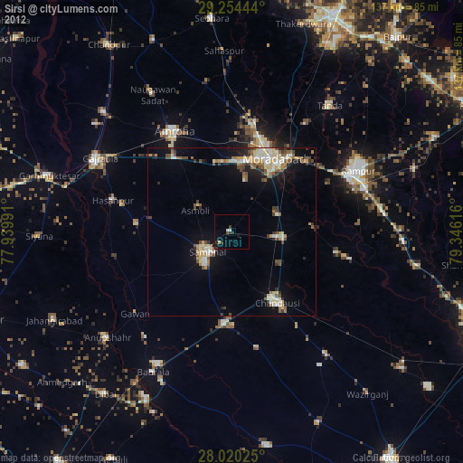
» Earth at Night: Flat Maps 2012, 2016