Mirzāpur night lights from space
Night Light of Mirzāpur (Uttar Pradesh) from space (India) Src. Average luminocity for 10x10km area is 84.1288% and for 50x50km: 26.5421%.
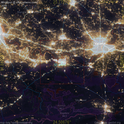
Analysis of Mirzāpur night lights 2016
Square area 10x10 km:
 31.82%
90-99
26.33%80-89
6.06%70-79
11.17%60-69
8.9%50-59
6.63%40-49
6.06%30-39
3.03%20-29
0%10-19
0%0-9
0%Square area 50x50 km:
2.31%90-99
2.89%80-89
2.21%70-79
3.7%60-69
3.93%50-59
4.65%40-49
8.05%30-39
8.6%20-29
12.66%10-19
11.6%0-9
39.41%Clear (daylight) street map image can be seen on geolist.org.
Map coordinates:
25° 46' 47" North, 81° 51' 44" East
25° 8' 41.6" North, 82° 33' 55.2" East
24° 30' 24.3" North, 83° 16' 6.5" East
Some cities around Mirzāpur sort by population:
• Bhadohi
27.8 km =17.3 mi,  1°
1°
• Chunār
31.9 km =19.8 mi,  93°
93°
• Suriānwān
38.4 km =23.9 mi,  337°
337°
• Handiā
45.2 km =28.1 mi,  302°
302°
• Kachhwa
16.5 km =10.3 mi,  65°
65°
• Gyānpur
23.1 km =14.4 mi,  334°
334°
• Barāgaon
40.5 km =25.2 mi,  38°
38°
• Ghorāwal
48.5 km =30.1 mi,  153°
153°
1262995 (p: 220,029)
Sources (retrieved 2019-11-25):
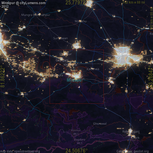
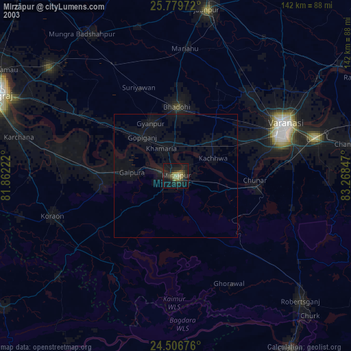
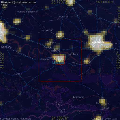
» NASA, Earths city lights 1995
» NASA city lights 2003
» Earth at Night: Flat Maps 2012, 2016