Barāgaon night lights from space
Night Light of Barāgaon (Uttar Pradesh) from space (India) Src. Average luminocity for 10x10km area is 44.3571% and for 50x50km: 41.7438%.
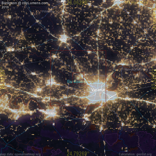
Analysis of Barāgaon night lights 2016
Square area 10x10 km:
 1.98%
1.98%90-99
2.18%80-89
5.36%70-79
8.33%60-69
10.52%50-59
10.52%40-49
17.26%30-39
9.52%20-29
15.08%10-19
17.26%0-9
1.98%Square area 50x50 km:
8.77%90-99
5.81%80-89
2.67%70-79
4.86%60-69
5.65%50-59
7.08%40-49
8.98%30-39
10.34%20-29
13.3%10-19
17.57%0-9
14.97%Clear (daylight) street map image can be seen on geolist.org.
Map coordinates:
26° 3' 45.6" North, 82° 6' 50.3" East
25° 25' 45.7" North, 82° 49' 1.5" East
24° 47' 33.7" North, 83° 31' 12.8" East
Some cities around Barāgaon sort by population:
• Varanasi
23.1 km =14.4 mi,  122°
122°
• Bhadohi
25.1 km =15.6 mi,  261°
261°
• Rāmnagar
27.8 km =17.3 mi,  129°
129°
• Chunār
34.2 km =21.3 mi,  168°
168°
• Mariāhu
28.9 km =18 mi,  312°
312°
• Kachhwa
26.9 km =16.7 mi,  202°
202°
• Kirākat
25.2 km =15.7 mi,  23°
23°
• Zafarābād
31.1 km =19.3 mi,  344°
344°
1277135 (p: 11,362)
Sources (retrieved 2019-11-25):
» Earth at Night: Flat Maps 2012, 2016