Maur night lights from space
Night Light of Maur (Punjab) from space (India) Src. Average luminocity for 10x10km area is 19.7348% and for 50x50km: 15.6352%.
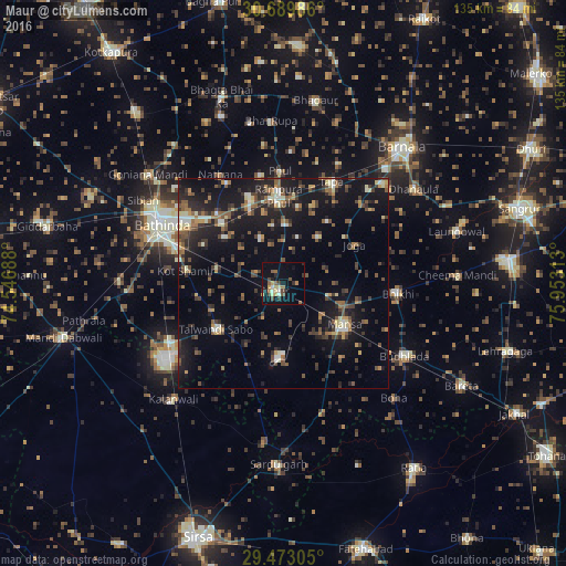
Analysis of Maur night lights 2016
Square area 10x10 km:
 0.38%
0.38%90-99
2.84%80-89
3.6%70-79
1.89%60-69
2.46%50-59
4.92%40-49
3.22%30-39
2.27%20-29
3.03%10-19
12.88%0-9
62.5%Square area 50x50 km:
0.47%90-99
1.75%80-89
1.5%70-79
1.46%60-69
2.1%50-59
2.99%40-49
3.26%30-39
3.49%20-29
5.11%10-19
15.42%0-9
62.45%Clear (daylight) street map image can be seen on geolist.org.
Map coordinates:
30° 41' 23.5" North, 74° 32' 48.8" East
30° 4' 60" North, 75° 15' 0" East
29° 28' 23" North, 75° 57' 11.3" East
Some cities around Maur sort by population:
• Bathinda
32.9 km =20.4 mi,  294°
294°
• Mānsa
18 km =11.2 mi,  125°
125°
• Rāmpura
19.2 km =11.9 mi,  357°
357°
• Kālānwāli
38.4 km =23.9 mi,  224°
224°
• Budhlāda
34.7 km =21.6 mi,  119°
119°
• Laungowāl
43.2 km =26.8 mi,  73°
73°
• Dhanaula
38.1 km =23.7 mi,  54°
54°
• Bhīkhi
27.6 km =17.1 mi,  95°
95°
1263293 (p: 28,295)
Sources (retrieved 2019-11-25):
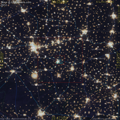
» Earth at Night: Flat Maps 2012, 2016