Mānsa night lights from space
Night Light of Mānsa (Punjab) from space (India) Src. Average luminocity for 10x10km area is 30.5852% and for 50x50km: 8.7669%.
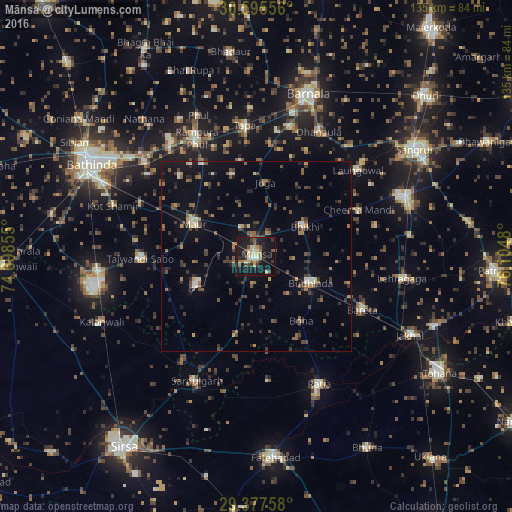
Analysis of Mānsa night lights 2016
Square area 10x10 km:
 1.7%
1.7%90-99
2.46%80-89
6.63%70-79
3.79%60-69
4.17%50-59
3.98%40-49
5.49%30-39
5.49%20-29
8.14%10-19
43.75%0-9
14.39%Square area 50x50 km:
0.25%90-99
0.7%80-89
0.62%70-79
0.74%60-69
1.14%50-59
1.72%40-49
2.08%30-39
2.39%20-29
2.46%10-19
5.35%0-9
82.55%Clear (daylight) street map image can be seen on geolist.org.
Map coordinates:
30° 35' 44" North, 74° 41' 54.8" East
29° 59' 18.4" North, 75° 24' 6" East
29° 22' 39.3" North, 76° 6' 17.3" East
Some cities around Mānsa sort by population:
• Rāmpura
33.5 km =20.8 mi,  332°
332°
• Maur
18 km =11.2 mi,  305°
305°
• Ratia
37.2 km =23.1 mi,  152°
152°
• Budhlāda
16.8 km =10.4 mi,  113°
113°
• Laungowāl
35.3 km =21.9 mi,  49°
49°
• Dhanaula
36.6 km =22.7 mi,  26°
26°
• Sardulgarh
36.6 km =22.7 mi,  205°
205°
• Bhīkhi
15.1 km =9.4 mi,  58°
58°
1263622 (p: 80,018)
Sources (retrieved 2019-11-25):
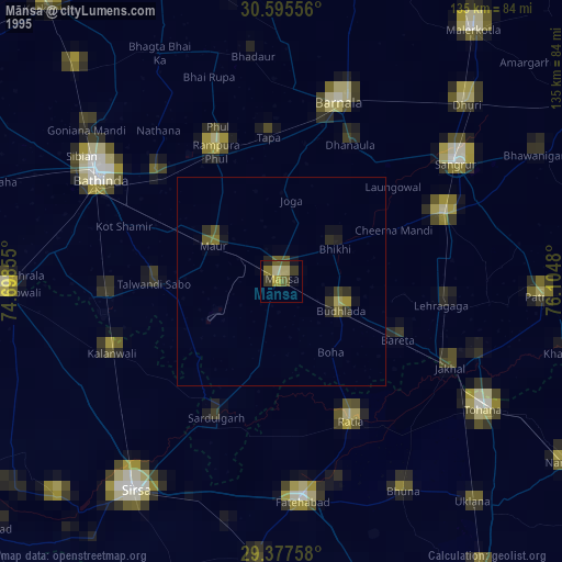
» NASA, Earths city lights 1995
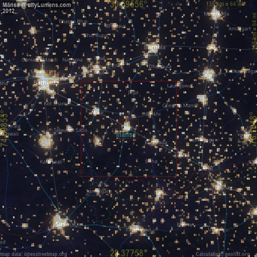
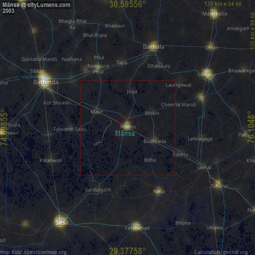
» NASA city lights 2003
» Earth at Night: Flat Maps 2012, 2016