Laungowāl night lights from space
Night Light of Laungowāl (Punjab) from space (India) Src. Average luminocity for 10x10km area is 16.2675% and for 50x50km: 16.3155%.
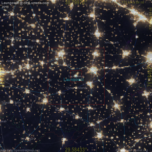
Analysis of Laungowāl night lights 2016
Square area 10x10 km:
 0.17%
0.17%90-99
2.62%80-89
2.62%70-79
2.97%60-69
0.7%50-59
1.4%40-49
2.27%30-39
3.15%20-29
2.62%10-19
7.52%0-9
73.95%Square area 50x50 km:
0.68%90-99
1.82%80-89
2.01%70-79
1.32%60-69
1.82%50-59
2.87%40-49
3.88%30-39
4.05%20-29
5.44%10-19
14.96%0-9
61.16%Clear (daylight) street map image can be seen on geolist.org.
Map coordinates:
30° 47' 59.2" North, 74° 58' 40" East
30° 11' 38.1" North, 75° 40' 51.2" East
29° 35' 3.6" North, 76° 23' 2.5" East
Some cities around Laungowāl sort by population:
• Barnāla
23.8 km =14.8 mi,  327°
327°
• Sangrūr
16.8 km =10.4 mi,  70°
70°
• Dhūri
26.4 km =16.4 mi,  42°
42°
• Sunām
13.5 km =8.4 mi,  122°
122°
• Budhlāda
31.7 km =19.7 mi,  201°
201°
• Dhanaula
14.2 km =8.8 mi,  313°
313°
• Bhīkhi
20.5 km =12.7 mi,  223°
223°
• Dirba
33.2 km =20.6 mi,  114°
114°
1265007 (p: 21,880)
Sources (retrieved 2019-11-25):
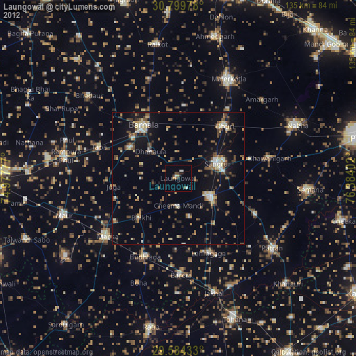
» Earth at Night: Flat Maps 2012, 2016