Maudaha night lights from space
Night Light of Maudaha (Uttar Pradesh) from space (India) Src. Average luminocity for 10x10km area is 15.5511% and for 50x50km: 4.8941%.
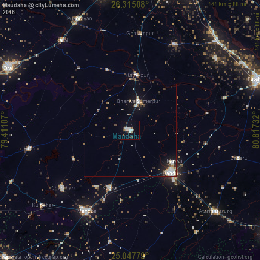
Analysis of Maudaha night lights 2016
Square area 10x10 km:
 3.03%
3.03%90-99
3.79%80-89
0%70-79
0%60-69
2.08%50-59
1.33%40-49
3.6%30-39
1.7%20-29
2.27%10-19
3.41%0-9
78.79%Square area 50x50 km:
0.85%90-99
1.1%80-89
0.38%70-79
0.22%60-69
0.37%50-59
0.51%40-49
0.84%30-39
0.77%20-29
0.88%10-19
2.51%0-9
91.57%Clear (daylight) street map image can be seen on geolist.org.
Map coordinates:
26° 18' 54.3" North, 79° 24' 39.9" East
25° 40' 59.2" North, 80° 6' 51.1" East
25° 2' 52" North, 80° 49' 2.4" East
Some cities around Maudaha sort by population:
• Bānda
31.8 km =19.8 mi,  135°
135°
• Hamīrpur
30.5 km =19 mi,  6°
6°
• Kabrāi
33.2 km =20.6 mi,  200°
200°
• Kharela
34.1 km =21.2 mi,  242°
242°
• Kadaura
43.5 km =27 mi,  320°
320°
• Kurāra
35.3 km =21.9 mi,  339°
339°
• Tindwāri
42 km =26.1 mi,  100°
100°
• Mataundh
27.8 km =17.3 mi,  171°
171°
1263303 (p: 37,844)
Sources (retrieved 2019-11-25):
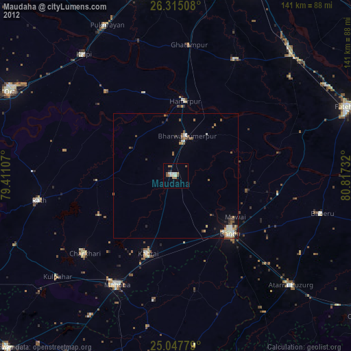
» Earth at Night: Flat Maps 2012, 2016