Bānda night lights from space
Night Light of Bānda (Uttar Pradesh) from space (India) Src. Average luminocity for 10x10km area is 53.3988% and for 50x50km: 6.5401%.
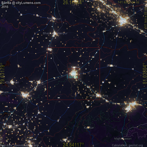
Analysis of Bānda night lights 2016
Square area 10x10 km:
 11.51%
90-99
15.08%80-89
5.95%70-79
5.36%60-69
5.36%50-59
2.38%40-49
6.55%30-39
11.31%20-29
18.25%10-19
17.46%0-9
0.79%Square area 50x50 km:
0.89%90-99
1.2%80-89
0.44%70-79
0.44%60-69
0.81%50-59
0.89%40-49
0.99%30-39
1.12%20-29
1.84%10-19
4.4%0-9
86.98%Clear (daylight) street map image can be seen on geolist.org.
Map coordinates:
26° 6' 38.3" North, 79° 37' 54.4" East
25° 28' 39.3" North, 80° 20' 5.7" East
24° 50' 28.2" North, 81° 2' 16.9" East
Some cities around Bānda sort by population:
• Atarra
31.9 km =19.8 mi,  131°
131°
• Maudaha
31.8 km =19.8 mi,  315°
315°
• Kabrāi
34.7 km =21.6 mi,  256°
256°
• Baberu
37.9 km =23.5 mi,  78°
78°
• Naraini
34.9 km =21.7 mi,  156°
156°
• Bisenda Buzurg
29.7 km =18.5 mi,  106°
106°
• Tindwāri
24.8 km =15.4 mi,  51°
51°
• Mataundh
18.5 km =11.5 mi, 255°
1277397 (p: 152,218)
Sources (retrieved 2019-11-25):
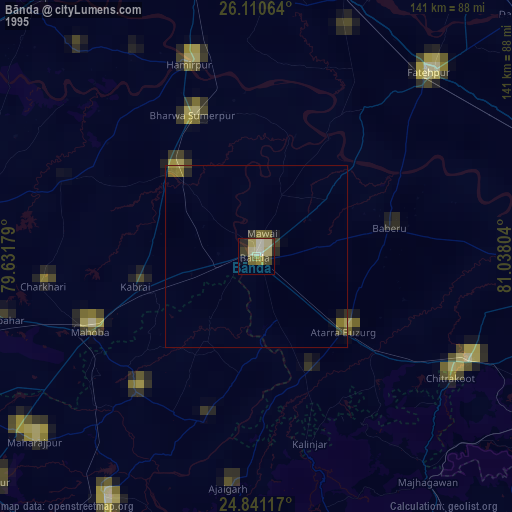
» NASA, Earths city lights 1995
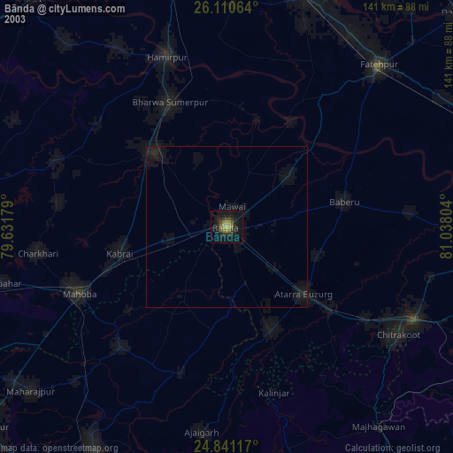
» NASA city lights 2003
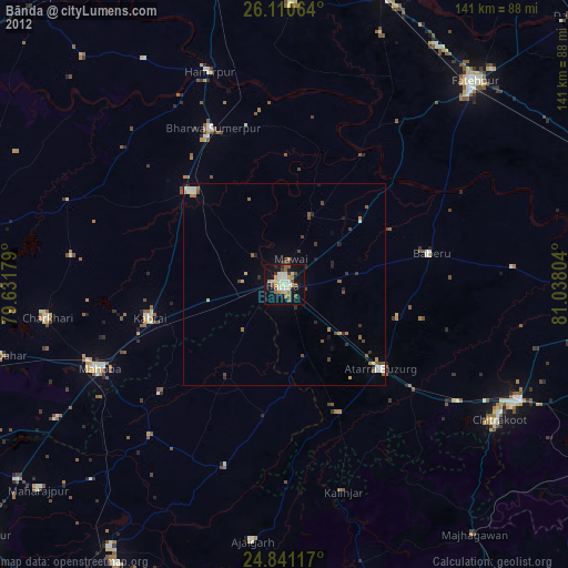
» Earth at Night: Flat Maps 2012, 2016