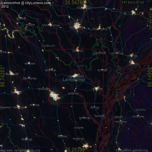
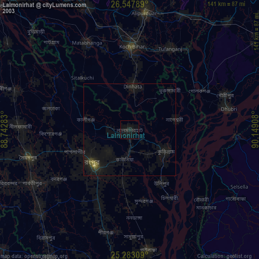
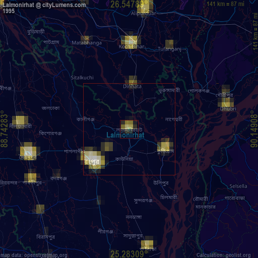
Lalmonirhat night lights from space
Night Light of Lalmonirhat (Rangpur Division) from space (Bangladesh) Src. Average luminocity for 10x10km area is 15.2557% and for 50x50km: 7.9779%.
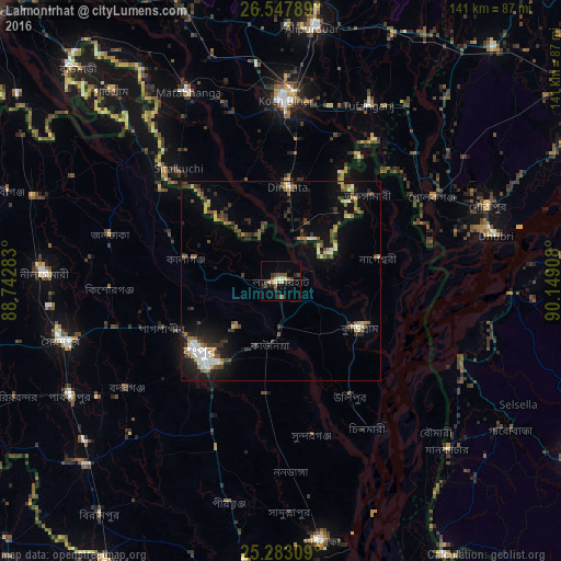
Analysis of Lalmonirhat night lights 2016
Square area 10x10 km:
 0.95%
0.95%90-99
1.52%80-89
2.08%70-79
1.33%60-69
2.46%50-59
2.46%40-49
3.79%30-39
4.17%20-29
2.46%10-19
3.41%0-9
75.38%Square area 50x50 km:
0.73%90-99
1.03%80-89
0.66%70-79
0.76%60-69
1.13%50-59
1.25%40-49
1.57%30-39
1.77%20-29
1.94%10-19
4.39%0-9
84.77%Clear (daylight) street map image can be seen on geolist.org.
Map coordinates:
26° 32' 52.4" North, 88° 44' 34.2" East
25° 55' 1.9" North, 89° 26' 45.4" East
25° 16' 59.1" North, 90° 8' 56.7" East
Some cities around Lalmonirhat sort by population:
• Rangpur
27.2 km =16.9 mi,  225°
225°
• Koch Bihār, IN
45.4 km =28.2 mi,  359°
359°
• Chilmāri
46 km =28.6 mi,  150°
150°
• Nageswari
25.2 km =15.7 mi,  77°
77°
• Dīnhāta, IN
24.3 km =15.1 mi,  3°
3°
• Badarganj
47.7 km =29.6 mi,  235°
235°
• Tufānganj, IN
49.6 km =30.8 mi,  26°
26°
• Golakganj, IN
42.9 km =26.7 mi,  61°
61°
1185181 (p: 65,127)
Sources (retrieved 2019-11-25):
» NASA, Earths city lights 1995
» NASA city lights 2003
» Earth at Night: Flat Maps 2012, 2016