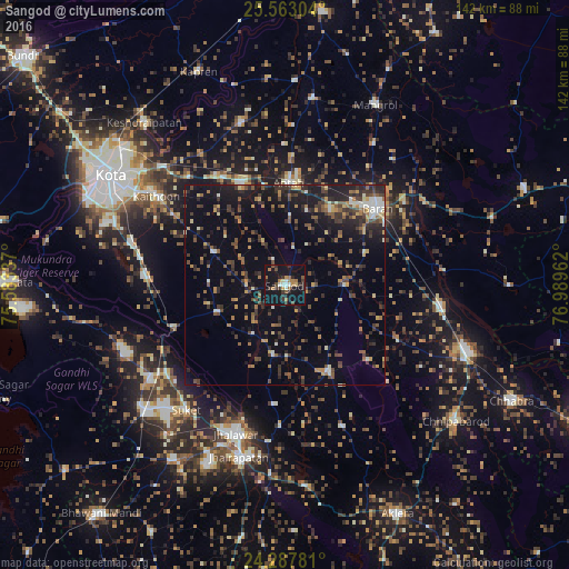
Sangod night lights from space
Night Light of Sangod (Rajasthan) from space (India) Src. Average luminocity for 10x10km area is 26.2576% and for 50x50km: 15.5962%.
Analysis of Sangod night lights 2016
Square area 10x10 km:
 1.89%
1.89%90-99
2.84%80-89
1.33%70-79
2.65%60-69
7.2%50-59
1.7%40-49
3.03%30-39
8.14%20-29
6.44%10-19
49.81%0-9
14.96%Square area 50x50 km:
0.65%90-99
1.68%80-89
1.01%70-79
2.01%60-69
1.8%50-59
2.59%40-49
3.31%30-39
3.94%20-29
4.7%10-19
12.8%0-9
65.52%Clear (daylight) street map image can be seen on geolist.org.
Map coordinates:
25° 33' 46.9" North, 75° 35' 0.1" East
24° 55' 37.5" North, 76° 17' 11.4" East
24° 17' 16.1" North, 76° 59' 22.6" East
Some cities around Sangod sort by population:
• Bārān
30.1 km =18.7 mi,  50°
50°
• Jhālāwār
38.8 km =24.1 mi,  198°
198°
• Jhālrapātan
44.3 km =27.5 mi, 195°
• Anta
24.8 km =15.4 mi,  3°
3°
• Suket
39.8 km =24.7 mi,  218°
218°
• Khānpur
24.3 km =15.1 mi,  152°
152°
• Chechat
44.4 km =27.6 mi,  246°
246°
• Udpura
38.1 km =23.7 mi,  235°
235°
1257410 (p: 19,842)
Sources (retrieved 2019-11-25):
» Earth at Night: Flat Maps 2012, 2016