Manapparai night lights from space
Night Light of Manapparai (Tamil Nadu) from space (India) Src. Average luminocity for 10x10km area is 18.4752% and for 50x50km: 4.2717%.
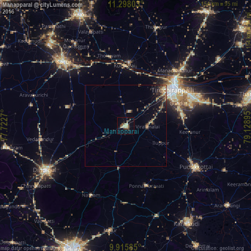
Analysis of Manapparai night lights 2016
Square area 10x10 km:
 0%
0%90-99
2.48%80-89
4.13%70-79
2.27%60-69
0.62%50-59
6.2%40-49
3.1%30-39
2.48%20-29
2.07%10-19
7.44%0-9
69.21%Square area 50x50 km:
0%90-99
0.39%80-89
0.36%70-79
0.72%60-69
0.82%50-59
0.66%40-49
1.17%30-39
0.92%20-29
1.51%10-19
2.1%0-9
91.36%Clear (daylight) street map image can be seen on geolist.org.
Map coordinates:
11° 17' 52.9" North, 77° 43' 21.7" East
10° 36' 27.8" North, 78° 25' 33" East
9° 54' 57.1" North, 79° 7' 44.2" East
Some cities around Manapparai sort by population:
• Tiruchirappalli
37.5 km =23.3 mi,  52°
52°
• Musiri
38.4 km =23.9 mi,  3°
3°
• Kulittalai
36.4 km =22.6 mi,  357°
357°
• Vadamadurai
40.4 km =25.1 mi,  242°
242°
• Iluppūr
24 km =14.9 mi,  115°
115°
• Ponnamarāvati
38.3 km =23.8 mi,  161°
161°
• Kīranūr
39.7 km =24.7 mi,  96°
96°
• Annavāsal
34.2 km =21.3 mi, 118°
1263952 (p: 36,926)
Sources (retrieved 2019-11-25):
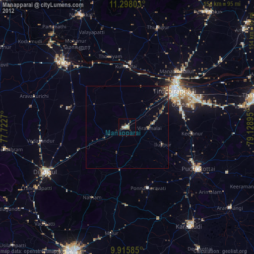
» Earth at Night: Flat Maps 2012, 2016