Tiruchirappalli night lights from space
Night Light of Tiruchirappalli (Tamil Nadu) from space (India) Src. Average luminocity for 10x10km area is 88.9091% and for 50x50km: 20.7357%.
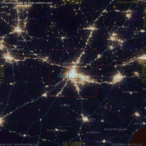
Analysis of Tiruchirappalli night lights 2016
Square area 10x10 km:
 27.06%
90-99
38.1%80-89
12.77%70-79
9.31%60-69
8.01%50-59
2.81%40-49
1.52%30-39
0.43%20-29
0%10-19
0%0-9
0%Square area 50x50 km:
1.39%90-99
3.85%80-89
2.86%70-79
3.53%60-69
2.63%50-59
3.12%40-49
3.53%30-39
3.7%20-29
6.3%10-19
10.71%0-9
58.38%Clear (daylight) street map image can be seen on geolist.org.
Map coordinates:
11° 30' 19.2" North, 77° 59' 36.2" East
10° 48' 55.8" North, 78° 41' 47.4" East
10° 7' 26.7" North, 79° 23' 58.7" East
Some cities around Tiruchirappalli sort by population:
• Musiri
31.5 km =19.6 mi,  299°
299°
• Kulittalai
33.7 km =20.9 mi,  293°
293°
• Lalgudi
14.9 km =9.3 mi,  64°
64°
• Iluppūr
34.5 km =21.4 mi,  193°
193°
• Thirukattupalli
28.6 km =17.8 mi,  83°
83°
• Puliyūr
25.7 km =16 mi,  141°
141°
• Pullambādi
27.2 km =16.9 mi, 59°
• Kīranūr
29 km =18 mi,  160°
160°
1254388 (p: 775,484)
Sources (retrieved 2019-11-25):
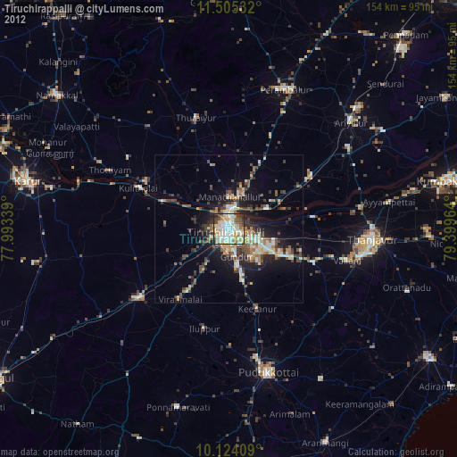
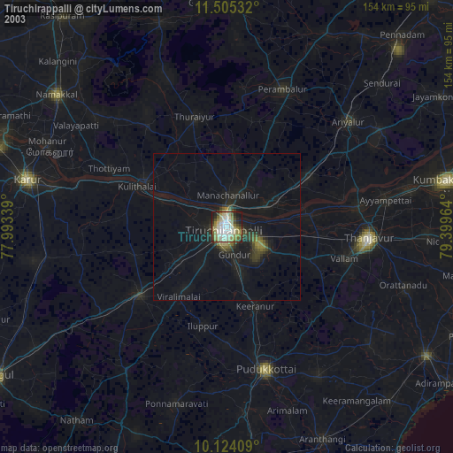
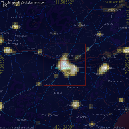
» NASA, Earths city lights 1995
» NASA city lights 2003
» Earth at Night: Flat Maps 2012, 2016