Māler Kotla night lights from space
Night Light of Māler Kotla (Punjab) from space (India) Src. Average luminocity for 10x10km area is 39.6465% and for 50x50km: 13.1333%.
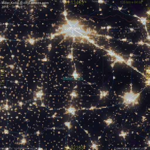
Analysis of Māler Kotla night lights 2016
Square area 10x10 km:
 4.4%
4.4%90-99
10.26%80-89
3.66%70-79
4.21%60-69
3.3%50-59
4.03%40-49
7.69%30-39
8.61%20-29
11.9%10-19
36.45%0-9
5.49%Square area 50x50 km:
0.42%90-99
1.27%80-89
1.21%70-79
0.94%60-69
1.19%50-59
2.55%40-49
3.27%30-39
3.26%20-29
4.39%10-19
14.85%0-9
66.65%Clear (daylight) street map image can be seen on geolist.org.
Map coordinates:
31° 8' 4.7" North, 75° 10' 34.9" East
30° 31' 51.2" North, 75° 52' 46.2" East
29° 55' 24.2" North, 76° 34' 57.4" East
Some cities around Māler Kotla sort by population:
• Sangrūr
32 km =19.9 mi,  185°
185°
• Nābha
31.4 km =19.5 mi,  123°
123°
• Dhūri
18.1 km =11.2 mi,  183°
183°
• Rāikot
29.8 km =18.5 mi,  296°
296°
• Dorāha
32.9 km =20.4 mi,  24°
24°
• Bhawānīgarh
33.1 km =20.6 mi,  152°
152°
• Amloh
34.8 km =21.6 mi,  75°
75°
• Chīma
26.2 km =16.3 mi,  49°
49°
1264111 (p: 113,840)
Sources (retrieved 2019-11-25):
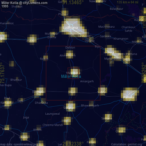
» NASA, Earths city lights 1995
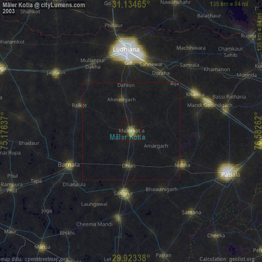
» NASA city lights 2003
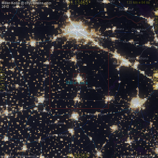
» Earth at Night: Flat Maps 2012, 2016