Dhūri night lights from space
Night Light of Dhūri (Punjab) from space (India) Src. Average luminocity for 10x10km area is 36.6245% and for 50x50km: 14.731%.
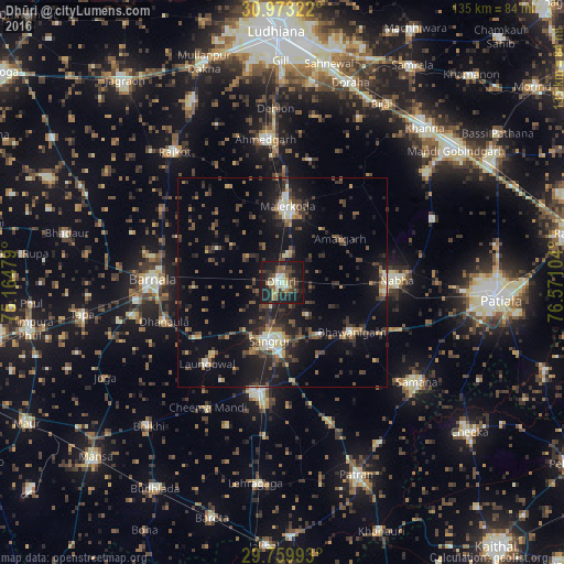
Analysis of Dhūri night lights 2016
Square area 10x10 km:
 1.47%
1.47%90-99
6.78%80-89
5.68%70-79
2.93%60-69
2.93%50-59
7.33%40-49
8.97%30-39
7.33%20-29
11.36%10-19
43.04%0-9
2.2%Square area 50x50 km:
0.56%90-99
1.65%80-89
1.52%70-79
1.26%60-69
1.2%50-59
2.44%40-49
3.83%30-39
3.71%20-29
4.95%10-19
13.97%0-9
64.92%Clear (daylight) street map image can be seen on geolist.org.
Map coordinates:
30° 58' 23.6" North, 75° 9' 53.2" East
30° 22' 6.5" North, 75° 52' 4.5" East
29° 45' 35.7" North, 76° 34' 15.7" East
Some cities around Dhūri sort by population:
• Māler Kotla
18.1 km =11.2 mi,  3°
3°
• Barnāla
30.6 km =19 mi,  271°
271°
• Sangrūr
13.9 km =8.6 mi,  189°
189°
• Nābha
27.4 km =17 mi,  88°
88°
• Sunām
27.4 km =17 mi, 193°
• Laungowāl
26.4 km =16.4 mi,  222°
222°
• Bhawānīgarh
19.9 km =12.4 mi,  124°
124°
• Dhanaula
29.8 km =18.5 mi,  251°
251°
1272670 (p: 54,302)
Sources (retrieved 2019-11-25):
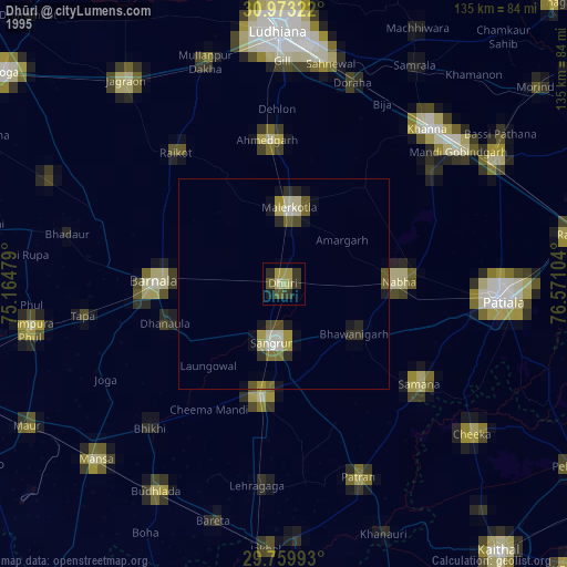
» NASA, Earths city lights 1995
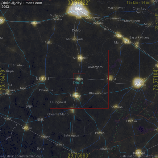
» NASA city lights 2003
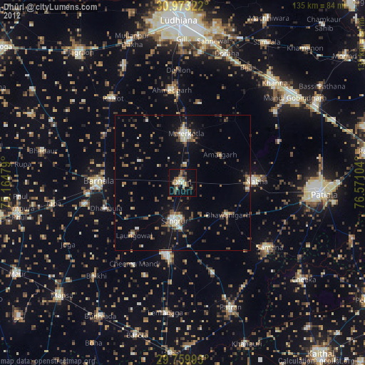
» Earth at Night: Flat Maps 2012, 2016