Rāikot night lights from space
Night Light of Rāikot (Punjab) from space (India) Src. Average luminocity for 10x10km area is 23.1906% and for 50x50km: 18.4225%.
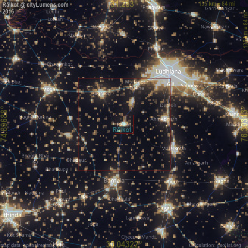
Analysis of Rāikot night lights 2016
Square area 10x10 km:
 0.7%
0.7%90-99
3.32%80-89
1.05%70-79
3.15%60-69
3.15%50-59
4.9%40-49
4.02%30-39
4.9%20-29
7.69%10-19
28.32%0-9
38.81%Square area 50x50 km:
0.79%90-99
2.06%80-89
1.52%70-79
1.44%60-69
2.7%50-59
3.58%40-49
4.75%30-39
4.35%20-29
5.97%10-19
15.66%0-9
57.19%Clear (daylight) street map image can be seen on geolist.org.
Map coordinates:
31° 15' 10.8" North, 74° 53' 48.8" East
30° 39' 0" North, 75° 36' 0" East
30° 2' 35.6" North, 76° 18' 11.3" East
Some cities around Rāikot sort by population:
• Ludhiāna
37.9 km =23.5 mi,  39°
39°
• Māler Kotla
29.8 km =18.5 mi,  116°
116°
• Barnāla
31 km =19.3 mi,  189°
189°
• Jagraon
19.5 km =12.1 mi,  321°
321°
• Dhūri
40.5 km =25.2 mi,  140°
140°
• Dhanaula
41 km =25.5 mi,  183°
183°
• Bhadaur
32.2 km =20 mi,  233°
233°
• Badhni Kalān
29.8 km =18.5 mi,  276°
276°
1258993 (p: 26,114)
Sources (retrieved 2019-11-25):
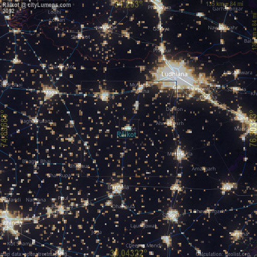
» Earth at Night: Flat Maps 2012, 2016