Dorāha night lights from space
Night Light of Dorāha (Punjab) from space (India) Src. Average luminocity for 10x10km area is 53.278% and for 50x50km: 32.6489%.
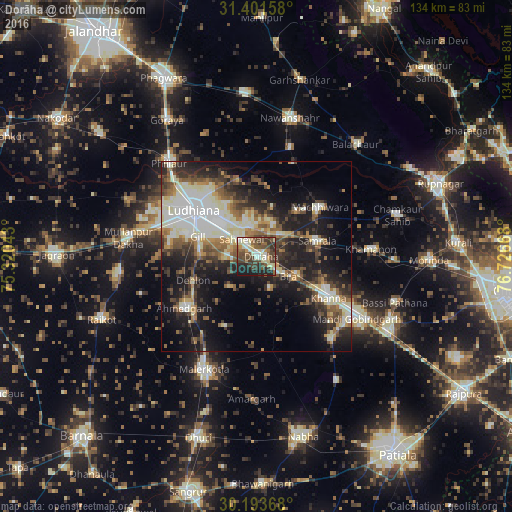
Analysis of Dorāha night lights 2016
Square area 10x10 km:
 4.72%
4.72%90-99
12.59%80-89
8.22%70-79
3.85%60-69
5.59%50-59
11.01%40-49
19.58%30-39
12.59%20-29
12.41%10-19
9.44%0-9
0%Square area 50x50 km:
5.77%90-99
6.68%80-89
3.96%70-79
2.48%60-69
3.7%50-59
5.09%40-49
5.66%30-39
5.77%20-29
8.86%10-19
17.19%0-9
34.84%Clear (daylight) street map image can be seen on geolist.org.
Map coordinates:
31° 24' 5.7" North, 75° 19' 13.5" East
30° 47' 58.3" North, 76° 1' 24.8" East
30° 11' 37.2" North, 76° 43' 36" East
Some cities around Dorāha sort by population:
• Ludhiāna
20.5 km =12.7 mi,  307°
307°
• Khanna
21.7 km =13.5 mi,  118°
118°
• Māchhīwāra
21.2 km =13.2 mi,  52°
52°
• Samrāla
16.7 km =10.4 mi,  75°
75°
• Amloh
29.1 km =18.1 mi,  136°
136°
• Rāhon
29.6 km =18.4 mi,  17°
17°
• Chīma
14 km =8.7 mi,  154°
154°
• Khamānon Kalān
31.7 km =19.7 mi,  86°
86°
1272375 (p: 23,545)
Sources (retrieved 2019-11-25):
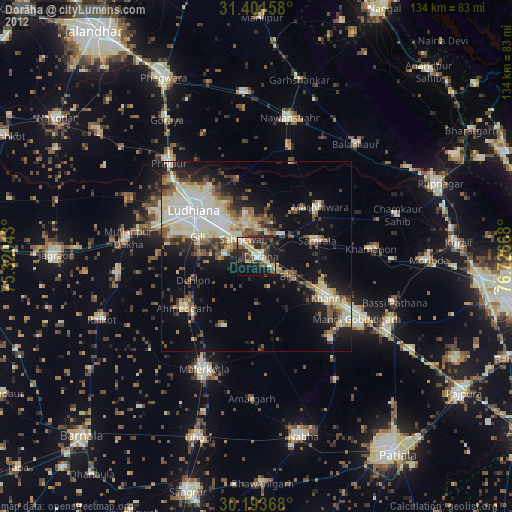
» Earth at Night: Flat Maps 2012, 2016