Mahobā night lights from space
Night Light of Mahobā (Uttar Pradesh) from space (India) Src. Average luminocity for 10x10km area is 39.3333% and for 50x50km: 6.8086%.
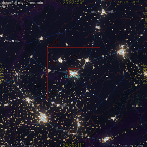
Analysis of Mahobā night lights 2016
Square area 10x10 km:
 8.93%
8.93%90-99
7.74%80-89
0.99%70-79
4.56%60-69
4.56%50-59
5.36%40-49
6.75%30-39
4.37%20-29
7.54%10-19
43.85%0-9
5.36%Square area 50x50 km:
0.77%90-99
0.97%80-89
0.42%70-79
0.48%60-69
0.9%50-59
1.03%40-49
1.25%30-39
1%20-29
1.43%10-19
4.18%0-9
87.56%Clear (daylight) street map image can be seen on geolist.org.
Map coordinates:
25° 55' 28.4" North, 79° 10' 20" East
25° 17' 25.8" North, 79° 52' 31.2" East
24° 39' 11.2" North, 80° 34' 42.5" East
Some cities around Mahobā sort by population:
• Rāth
45.9 km =28.5 mi,  317°
317°
• Charkhāri
17.8 km =11.1 mi,  314°
314°
• Kabrāi
17.7 km =11 mi,  45°
45°
• Kulpahār
24 km =14.9 mi,  277°
277°
• Kharela
28.8 km =17.9 mi,  347°
347°
• Rājnagar
44.8 km =27.8 mi,  175°
175°
• Chandla
40.2 km =25 mi,  127°
127°
• Mataundh
32.6 km =20.3 mi,  60°
60°
1264359 (p: 89,170)
Sources (retrieved 2019-11-25):
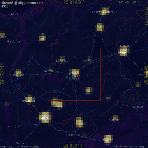
» NASA, Earths city lights 1995
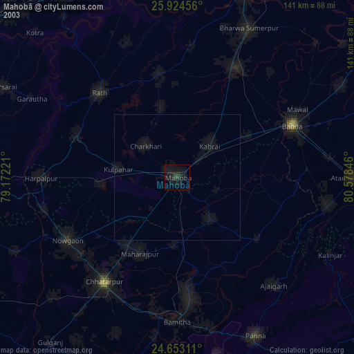
» NASA city lights 2003
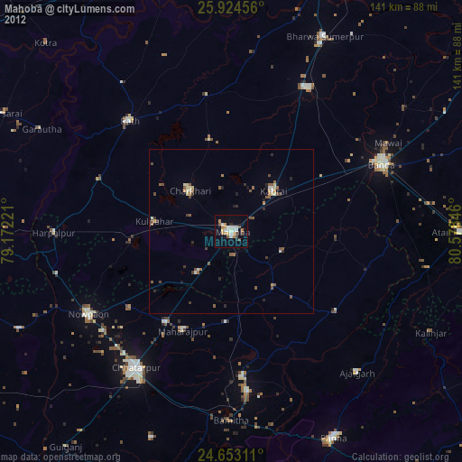
» Earth at Night: Flat Maps 2012, 2016