Mahāsamund night lights from space
Night Light of Mahāsamund (Chhattisgarh) from space (India) Src. Average luminocity for 10x10km area is 39.0159% and for 50x50km: 19.1827%.
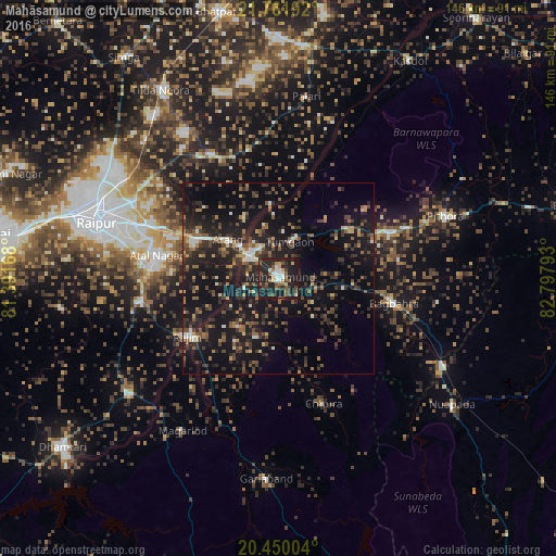
Analysis of Mahāsamund night lights 2016
Square area 10x10 km:
 3.77%
3.77%90-99
6.75%80-89
1.98%70-79
4.56%60-69
3.17%50-59
13.49%40-49
3.17%30-39
8.13%20-29
22.62%10-19
32.14%0-9
0.2%Square area 50x50 km:
0.97%90-99
1.64%80-89
1.18%70-79
1.89%60-69
2.24%50-59
3.77%40-49
4.06%30-39
5.41%20-29
8.44%10-19
23.93%0-9
46.49%Clear (daylight) street map image can be seen on geolist.org.
Map coordinates:
21° 45' 42.9" North, 81° 23' 30" East
21° 6' 26.7" North, 82° 5' 41.3" East
20° 27' 0.1" North, 82° 47' 52.5" East
Some cities around Mahāsamund sort by population:
• Raipur
49.9 km =31 mi,  286°
286°
• Arang
16.4 km =10.2 mi,  307°
307°
• Kurud
49.4 km =30.7 mi,  231°
231°
• Gariāband
52.8 km =32.8 mi,  183°
183°
• Pātan
58.8 km =36.5 mi,  261°
261°
• Bhatgaon
41.2 km =25.6 mi,  276°
276°
• Pithora
46.6 km =29 mi,  70°
70°
• Khamharia
21.8 km =13.5 mi,  132°
132°
1264414 (p: 50,441)
Sources (retrieved 2019-11-25):
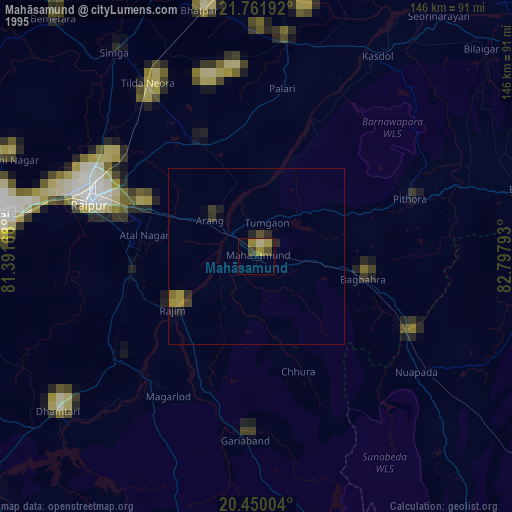
» NASA, Earths city lights 1995
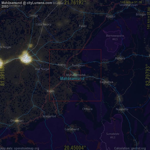
» NASA city lights 2003
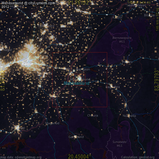
» Earth at Night: Flat Maps 2012, 2016