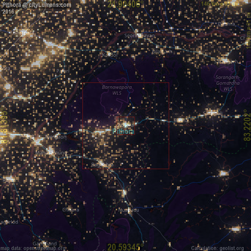
Pithora night lights from space
Night Light of Pithora (Chhattisgarh) from space (India) Src. Average luminocity for 10x10km area is 34.6766% and for 50x50km: 10.1478%.
Analysis of Pithora night lights 2016
Square area 10x10 km:
 2.18%
2.18%90-99
2.38%80-89
4.56%70-79
3.17%60-69
3.77%50-59
10.32%40-49
9.52%30-39
8.73%20-29
14.48%10-19
33.53%0-9
7.34%Square area 50x50 km:
0.43%90-99
0.51%80-89
0.57%70-79
0.85%60-69
1.18%50-59
2.63%40-49
3.1%30-39
2.87%20-29
3.6%10-19
11.43%0-9
72.84%Clear (daylight) street map image can be seen on geolist.org.
Map coordinates:
21° 54' 14.6" North, 81° 48' 50.2" East
21° 15' 0.8" North, 82° 31' 1.5" East
20° 35' 36.4" North, 83° 13' 12.7" East
Some cities around Pithora sort by population:
• Mahāsamund
46.6 km =29 mi,  250°
250°
• Saraipali
51.2 km =31.8 mi,  81°
81°
• Arang
57.1 km =35.5 mi,  263°
263°
• Deori
24.5 km =15.2 mi,  24°
24°
• Basna
32.2 km =20 mi, 84°
• Kharod
55.3 km =34.4 mi,  6°
6°
• Seorīnārāyan
52.9 km =32.9 mi, 8°
• Khamharia
41.1 km =25.5 mi,  222°
222°
1259505 (p: 7,592)
Sources (retrieved 2019-11-25):
» Earth at Night: Flat Maps 2012, 2016