Mahālingpur night lights from space
Night Light of Mahālingpur (Karnataka) from space (India) Src. Average luminocity for 10x10km area is 22.314% and for 50x50km: 8.6506%.
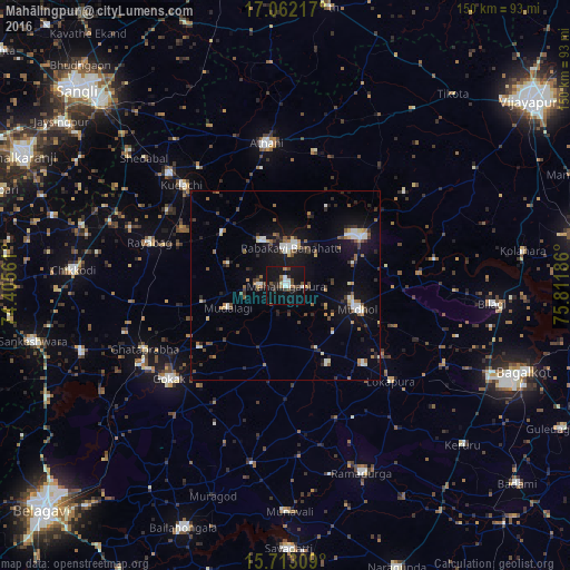
Analysis of Mahālingpur night lights 2016
Square area 10x10 km:
 3.51%
3.51%90-99
3.1%80-89
0.83%70-79
0%60-69
2.69%50-59
2.27%40-49
5.79%30-39
3.1%20-29
5.79%10-19
37.81%0-9
35.12%Square area 50x50 km:
0.94%90-99
1.36%80-89
0.61%70-79
0.54%60-69
0.87%50-59
1.24%40-49
1.35%30-39
1.37%20-29
1.85%10-19
7.51%0-9
82.36%Clear (daylight) street map image can be seen on geolist.org.
Map coordinates:
17° 3' 43.8" North, 74° 24' 20.2" East
16° 23' 19.7" North, 75° 6' 31.4" East
15° 42' 47.1" North, 75° 48' 42.7" East
Some cities around Mahālingpur sort by population:
• Rabkavi
9.7 km =6 mi,  1°
1°
• Gokak
39 km =24.2 mi,  231°
231°
• Jamkhandi
23.4 km =14.5 mi,  56°
56°
• Mudhol
19.6 km =12.2 mi,  108°
108°
• Athni
37.8 km =23.5 mi,  352°
352°
• Terdāl
13.4 km =8.3 mi,  330°
330°
• Kudachi
38 km =23.6 mi,  314°
314°
• Rāybāg
37.5 km =23.3 mi,  287°
287°
1264457 (p: 32,699)
Sources (retrieved 2019-11-25):
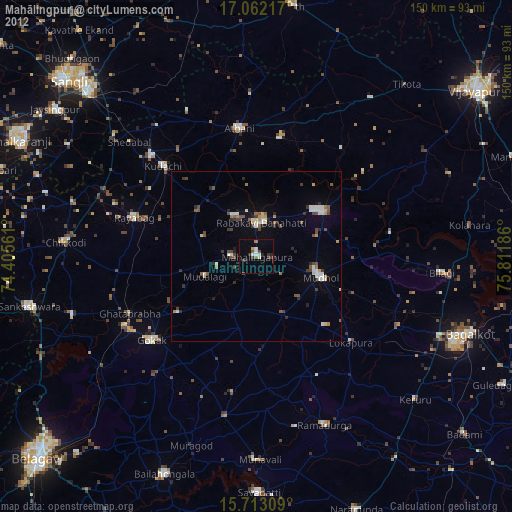
» Earth at Night: Flat Maps 2012, 2016