Jamkhandi night lights from space
Night Light of Jamkhandi (Karnataka) from space (India) Src. Average luminocity for 10x10km area is 28.5455% and for 50x50km: 7.4336%.
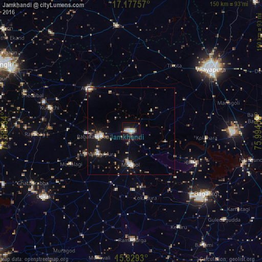
Analysis of Jamkhandi night lights 2016
Square area 10x10 km:
 6.2%
6.2%90-99
5.37%80-89
2.07%70-79
2.07%60-69
1.86%50-59
4.75%40-49
1.86%30-39
4.55%20-29
4.75%10-19
35.74%0-9
30.79%Square area 50x50 km:
0.86%90-99
1.03%80-89
0.54%70-79
0.51%60-69
0.72%50-59
1.18%40-49
1.22%30-39
1.31%20-29
1.53%10-19
7.39%0-9
83.71%Clear (daylight) street map image can be seen on geolist.org.
Map coordinates:
17° 10' 39.3" North, 74° 35' 18" East
16° 30' 16.6" North, 75° 17' 29.3" East
15° 49' 45.5" North, 75° 59' 40.5" East
Some cities around Jamkhandi sort by population:
• Rabkavi
19.5 km =12.1 mi,  260°
260°
• Mudhol
19 km =11.8 mi,  182°
182°
• Athni
34.5 km =21.4 mi,  315°
315°
• Mahālingpur
23.4 km =14.5 mi,  236°
236°
• Terdāl
26.1 km =16.2 mi,  267°
267°
• Kudachi
48.6 km =30.2 mi,  286°
286°
• Rāybāg
55.2 km =34.3 mi, 268°
• Bilgi
39 km =24.2 mi,  116°
116°
1269328 (p: 61,690)
Sources (retrieved 2019-11-25):
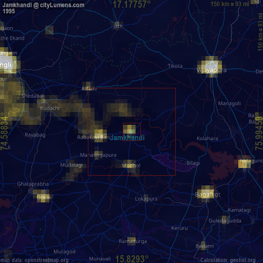
» NASA, Earths city lights 1995
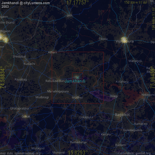
» NASA city lights 2003
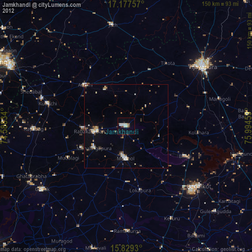
» Earth at Night: Flat Maps 2012, 2016