Terdāl night lights from space
Night Light of Terdāl (Karnataka) from space (India) Src. Average luminocity for 10x10km area is 13.8657% and for 50x50km: 8.1477%.
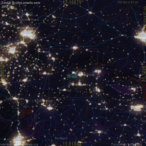
Analysis of Terdāl night lights 2016
Square area 10x10 km:
 1.03%
1.03%90-99
2.89%80-89
1.45%70-79
0.41%60-69
1.03%50-59
1.45%40-49
1.24%30-39
1.24%20-29
2.89%10-19
19.83%0-9
66.53%Square area 50x50 km:
0.75%90-99
1.11%80-89
0.63%70-79
0.54%60-69
0.78%50-59
1.3%40-49
1.63%30-39
1.43%20-29
1.67%10-19
6.74%0-9
83.43%Clear (daylight) street map image can be seen on geolist.org.
Map coordinates:
17° 10' 0.4" North, 74° 20' 36.8" East
16° 29' 37.6" North, 75° 2' 48" East
15° 49' 6.4" North, 75° 44' 59.3" East
Some cities around Terdāl sort by population:
• Rabkavi
7.1 km =4.4 mi,  106°
106°
• Jamkhandi
26.1 km =16.2 mi,  87°
87°
• Mudhol
30.9 km =19.2 mi,  125°
125°
• Athni
25.9 km =16.1 mi,  4°
4°
• Mahālingpur
13.4 km =8.3 mi,  150°
150°
• Shiraguppi
38.6 km =24 mi,  291°
291°
• Kudachi
25.4 km =15.8 mi,  305°
305°
• Rāybāg
29.1 km =18.1 mi,  269°
269°
1254727 (p: 26,411)
Sources (retrieved 2019-11-25):
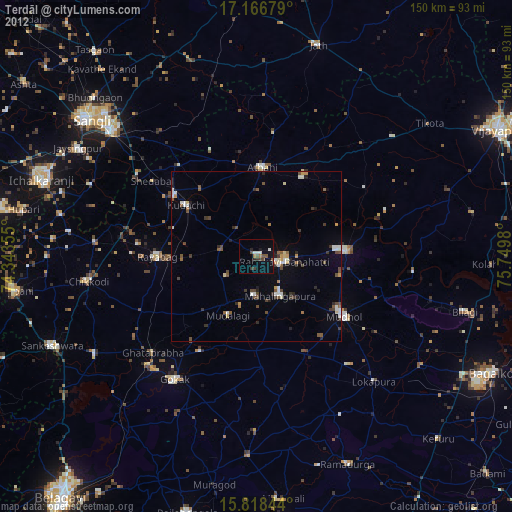
» Earth at Night: Flat Maps 2012, 2016