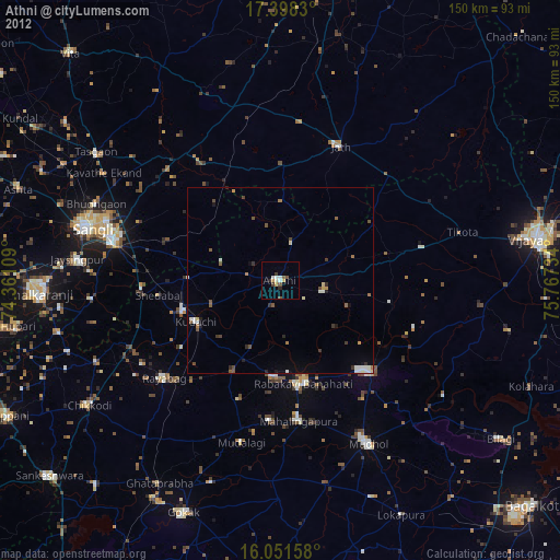
Athni night lights from space
Night Light of Athni (Karnataka) from space (India) Src. Average luminocity for 10x10km area is 21.0844% and for 50x50km: 3.9679%.
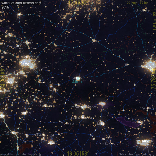
Analysis of Athni night lights 2016
Square area 10x10 km:
 2.81%
2.81%90-99
4.98%80-89
0.22%70-79
1.73%60-69
2.38%50-59
4.33%40-49
1.52%30-39
4.98%20-29
1.73%10-19
9.96%0-9
65.37%Square area 50x50 km:
0.34%90-99
0.46%80-89
0.23%70-79
0.26%60-69
0.52%50-59
0.71%40-49
0.78%30-39
0.88%20-29
0.95%10-19
2.19%0-9
92.7%Clear (daylight) street map image can be seen on geolist.org.
Map coordinates:
17° 23' 53.9" North, 74° 21' 39.9" East
16° 43' 34.1" North, 75° 3' 51.2" East
16° 3' 5.7" North, 75° 46' 2.4" East
Some cities around Athni sort by population:
• Rabkavi
28.3 km =17.6 mi,  169°
169°
• Jamkhandi
34.5 km =21.4 mi,  135°
135°
• Mudhol
49.5 km =30.8 mi,  151°
151°
• Mahālingpur
37.8 km =23.5 mi, 172°
• Terdāl
25.9 km =16.1 mi,  184°
184°
• Shiraguppi
39.7 km =24.7 mi,  252°
252°
• Kudachi
24.9 km =15.5 mi,  243°
243°
• Rāybāg
40.4 km =25.1 mi,  229°
229°
1278208 (p: 42,047)
Sources (retrieved 2019-11-25):
» Earth at Night: Flat Maps 2012, 2016