Mudhol night lights from space
Night Light of Mudhol (Karnataka) from space (India) Src. Average luminocity for 10x10km area is 23.9525% and for 50x50km: 7.8916%.
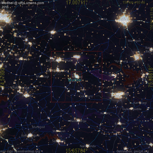
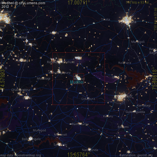
Analysis of Mudhol night lights 2016
Square area 10x10 km:
 4.55%
4.55%90-99
4.55%80-89
1.86%70-79
2.27%60-69
1.65%50-59
2.48%40-49
2.48%30-39
2.69%20-29
2.89%10-19
28.31%0-9
46.28%Square area 50x50 km:
0.89%90-99
1.18%80-89
0.46%70-79
0.64%60-69
0.86%50-59
1.25%40-49
1.22%30-39
1.21%20-29
1.51%10-19
7.32%0-9
83.46%Clear (daylight) street map image can be seen on geolist.org.
Map coordinates:
17° 0' 25.6" North, 74° 34' 47.7" East
16° 20' 0.7" North, 75° 16' 59" East
15° 39' 27.5" North, 75° 59' 10.2" East
Some cities around Mudhol sort by population:
• Bagalkot
47 km =29.2 mi,  110°
110°
• Rabkavi
24.3 km =15.1 mi,  310°
310°
• Jamkhandi
19 km =11.8 mi,  2°
2°
• Athni
49.5 km =30.8 mi,  331°
331°
• Mahālingpur
19.6 km =12.2 mi,  288°
288°
• Terdāl
30.9 km =19.2 mi, 305°
• Kerūr
45.3 km =28.1 mi,  141°
141°
• Bilgi
35.8 km =22.2 mi,  87°
87°
1262663 (p: 47,427)
Sources (retrieved 2019-11-25):
» Earth at Night: Flat Maps 2012, 2016