Lohārdagā night lights from space
Night Light of Lohārdagā (Jharkhand) from space (India) Src. Average luminocity for 10x10km area is 33.2064% and for 50x50km: 3.7024%.
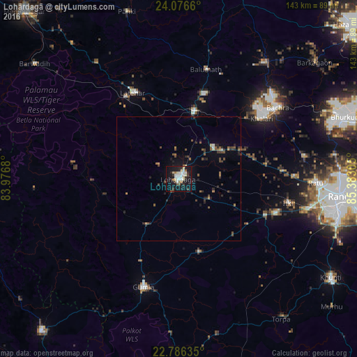
Analysis of Lohārdagā night lights 2016
Square area 10x10 km:
 7.58%
7.58%90-99
7.2%80-89
4.92%70-79
0.95%60-69
2.46%50-59
2.65%40-49
1.7%30-39
4.17%20-29
4.92%10-19
43.56%0-9
19.89%Square area 50x50 km:
0.33%90-99
0.38%80-89
0.33%70-79
0.21%60-69
0.46%50-59
0.65%40-49
0.75%30-39
0.67%20-29
1.09%10-19
2.74%0-9
92.39%Clear (daylight) street map image can be seen on geolist.org.
Map coordinates:
24° 4' 35.8" North, 83° 58' 36.5" East
23° 25' 59" North, 84° 40' 47.7" East
22° 47' 10.9" North, 85° 22' 59" East
Some cities around Lohārdagā sort by population:
• Ranchi
65 km =40.4 mi,  98°
98°
• Gumlā
45.6 km =28.3 mi,  197°
197°
• Khunti
72.9 km =45.3 mi,  123°
123°
• Jashpurnagar
82.1 km =51 mi,  222°
222°
• Lātehār
39.2 km =24.4 mi,  332°
332°
• Kānke
65.4 km =40.6 mi,  89°
89°
• Barwādih
74.1 km =46 mi,  308°
308°
• Rāy
47.3 km =29.4 mi,  53°
53°
1264839 (p: 53,032)
Sources (retrieved 2019-11-25):
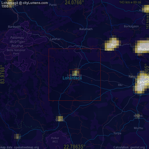
» NASA, Earths city lights 1995
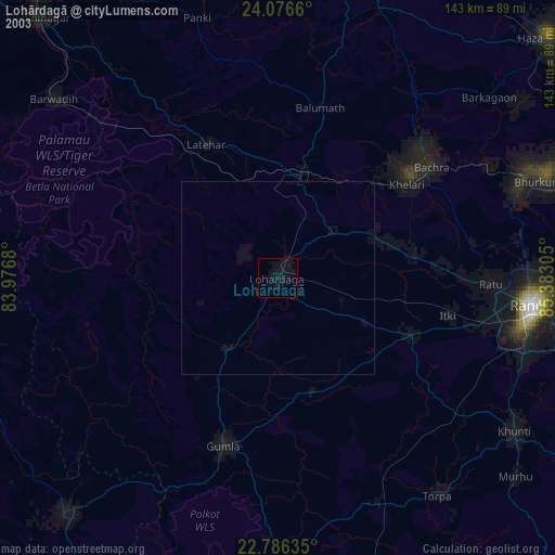
» NASA city lights 2003
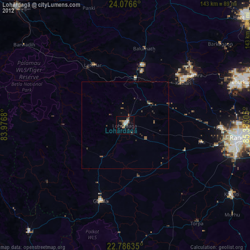
» Earth at Night: Flat Maps 2012, 2016