Lātehār night lights from space
Night Light of Lātehār (Jharkhand) from space (India) Src. Average luminocity for 10x10km area is 16.9246% and for 50x50km: 1.4555%.
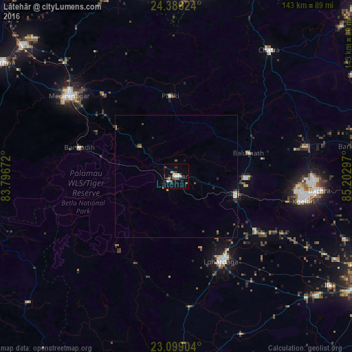
Analysis of Lātehār night lights 2016
Square area 10x10 km:
 2.58%
2.58%90-99
3.37%80-89
1.98%70-79
0.2%60-69
1.59%50-59
1.59%40-49
4.37%30-39
2.98%20-29
1.19%10-19
3.57%0-9
76.59%Square area 50x50 km:
0.18%90-99
0.21%80-89
0.11%70-79
0.13%60-69
0.14%50-59
0.17%40-49
0.4%30-39
0.14%20-29
0.26%10-19
0.31%0-9
97.93%Clear (daylight) street map image can be seen on geolist.org.
Map coordinates:
24° 23' 10.5" North, 83° 47' 48.2" East
23° 44' 39.2" North, 84° 29' 59.4" East
23° 5' 56.5" North, 85° 12' 10.7" East
Some cities around Lātehār sort by population:
• Daltonganj
55 km =34.2 mi,  306°
306°
• Lohārdagā
39.2 km =24.4 mi,  152°
152°
• Chatrā
63.7 km =39.6 mi,  36°
36°
• Gumlā
78.1 km =48.5 mi,  176°
176°
• Garhwa
84.2 km =52.3 mi,  303°
303°
• Rāmānuj Ganj
81.7 km =50.8 mi,  274°
274°
• Barwādih
41.3 km =25.7 mi,  286°
286°
• Rāy
56.9 km =35.4 mi,  96°
96°
1265025 (p: 20,769)
Sources (retrieved 2019-11-25):
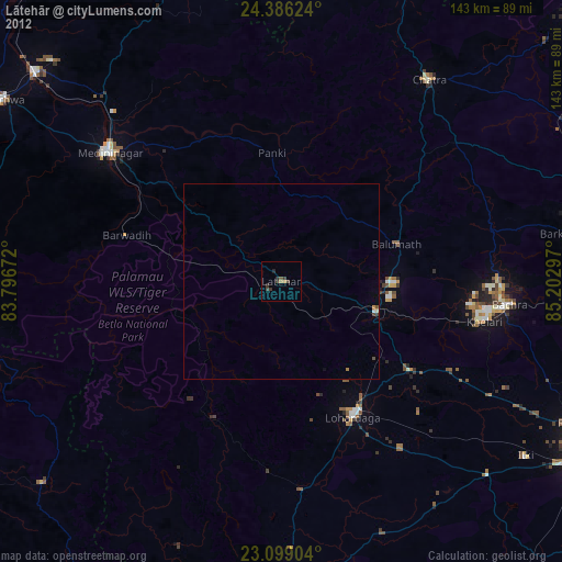
» Earth at Night: Flat Maps 2012, 2016