Khunti night lights from space
Night Light of Khunti (Jharkhand) from space (India) Src. Average luminocity for 10x10km area is 19.892% and for 50x50km: 5.6101%.
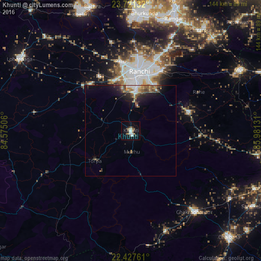
Analysis of Khunti night lights 2016
Square area 10x10 km:
 3.98%
3.98%90-99
4.17%80-89
1.14%70-79
0.76%60-69
2.27%50-59
3.41%40-49
1.14%30-39
3.41%20-29
1.89%10-19
11.93%0-9
65.91%Square area 50x50 km:
0.64%90-99
0.81%80-89
0.42%70-79
0.63%60-69
0.77%50-59
1.21%40-49
0.98%30-39
0.94%20-29
1.61%10-19
3.4%0-9
88.59%Clear (daylight) street map image can be seen on geolist.org.
Map coordinates:
23° 43' 16.8" North, 84° 34' 30.2" East
23° 4' 33.7" North, 85° 16' 41.4" East
22° 25' 39.4" North, 85° 58' 52.7" East
Some cities around Khunti sort by population:
• Ranchi
29.9 km =18.6 mi,  6°
6°
• Rāmgarh
66.4 km =41.3 mi,  21°
21°
• Chakradharpur
57.2 km =35.5 mi,  141°
141°
• Būndu
33.3 km =20.7 mi,  73°
73°
• Barkā Kānā
63.6 km =39.5 mi, 17°
• Kānke
40.1 km =24.9 mi, 6°
• Muri
68.1 km =42.3 mi,  61°
61°
• Kharsāwān
64.9 km =40.3 mi,  119°
119°
1266622 (p: 31,366)
Sources (retrieved 2019-11-25):
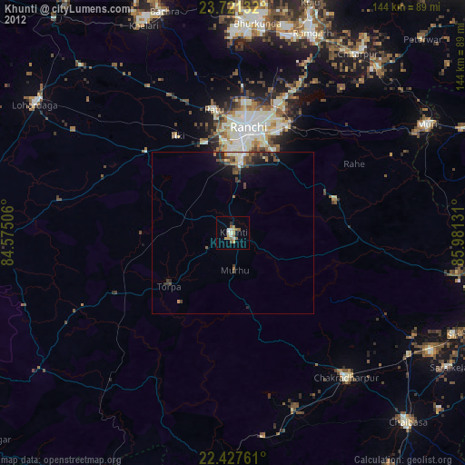
» Earth at Night: Flat Maps 2012, 2016