Jashpurnagar night lights from space
Night Light of Jashpurnagar (Chhattisgarh) from space (India) Src. Average luminocity for 10x10km area is 14.996% and for 50x50km: 1.0623%.
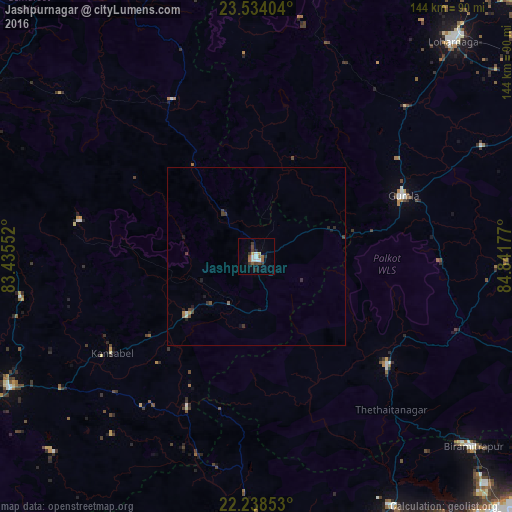
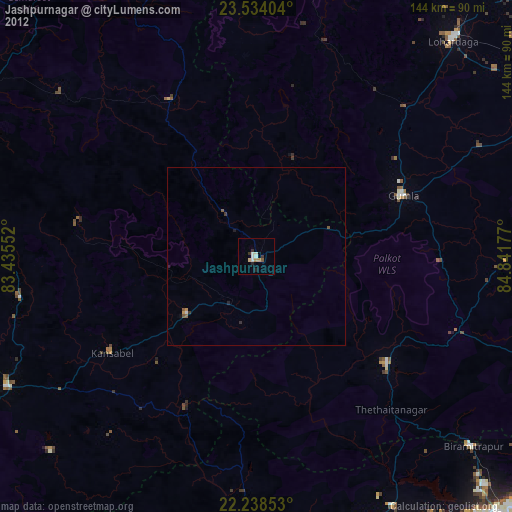
Analysis of Jashpurnagar night lights 2016
Square area 10x10 km:
 2.58%
2.58%90-99
2.18%80-89
0.99%70-79
0.6%60-69
2.38%50-59
2.38%40-49
2.38%30-39
3.77%20-29
2.58%10-19
0.79%0-9
79.37%Square area 50x50 km:
0.13%90-99
0.12%80-89
0.06%70-79
0.05%60-69
0.16%50-59
0.13%40-49
0.29%30-39
0.36%20-29
0.2%10-19
0.29%0-9
98.23%Clear (daylight) street map image can be seen on geolist.org.
Map coordinates:
23° 32' 2.5" North, 83° 26' 7.9" East
22° 53' 16.2" North, 84° 8' 19.1" East
22° 14' 18.7" North, 84° 50' 30.4" East
Some cities around Jashpurnagar sort by population:
• Ambikāpur
99.9 km =62.1 mi,  284°
284°
• Lohārdagā
82.1 km =51 mi,  42°
42°
• Gumlā
45 km =28 mi,  67°
67°
• Sundargarh
86.4 km =53.7 mi,  187°
187°
• Simdega
48 km =29.8 mi,  129°
129°
• Birmitrapur
84.2 km =52.3 mi, 130°
• Pathalgaon
78.4 km =48.7 mi,  241°
241°
• Bānposh
99.1 km =61.6 mi,  135°
135°
1269177 (p: 22,607)
Sources (retrieved 2019-11-25):
» Earth at Night: Flat Maps 2012, 2016