Ranchi night lights from space
Night Light of Ranchi (Jharkhand) from space (India) Src. Average luminocity for 10x10km area is 97.9678% and for 50x50km: 29.0612%.
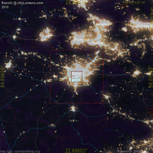
Analysis of Ranchi night lights 2016
Square area 10x10 km:
 74.62%
90-99
18.37%80-89
1.89%70-79
3.41%60-69
1.7%50-59
0%40-49
0%30-39
0%20-29
0%10-19
0%0-9
0%Square area 50x50 km:
7.82%90-99
5.57%80-89
1.88%70-79
2.26%60-69
3.48%50-59
4.71%40-49
4.44%30-39
4.42%20-29
6.66%10-19
12.12%0-9
46.65%Clear (daylight) street map image can be seen on geolist.org.
Map coordinates:
23° 59' 13.7" North, 84° 36' 22.6" East
23° 20' 35.4" North, 85° 18' 33.8" East
22° 41' 45.7" North, 86° 0' 45.1" East
Some cities around Ranchi sort by population:
• Rāmgarh
38.6 km =24 mi,  34°
34°
• Khunti
29.9 km =18.6 mi,  186°
186°
• Būndu
35.1 km =21.8 mi,  125°
125°
• Kuju
47.2 km =29.3 mi, 25°
• Barkā Kānā
34.9 km =21.7 mi, 27°
• Kānke
10.3 km =6.4 mi,  6°
6°
• Muri
56.5 km =35.1 mi,  86°
86°
• Rāy
46 km =28.6 mi,  325°
325°
1258526 (p: 846,454)
Sources (retrieved 2019-11-25):
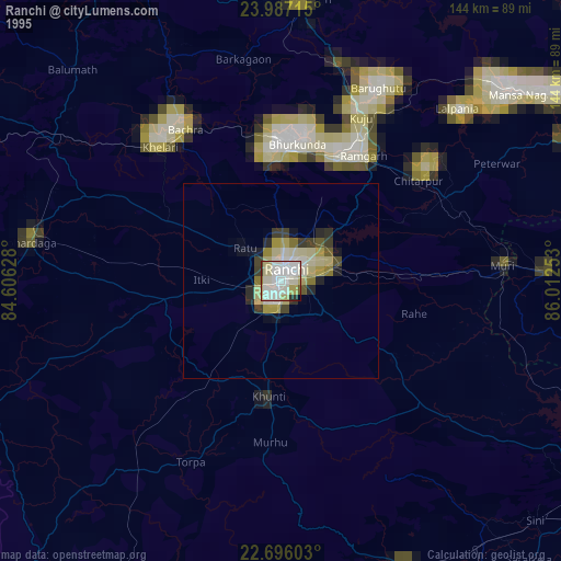
» NASA, Earths city lights 1995
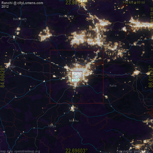
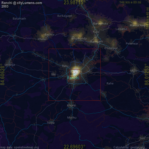
» NASA city lights 2003
» Earth at Night: Flat Maps 2012, 2016