Gumlā night lights from space
Night Light of Gumlā (Jharkhand) from space (India) Src. Average luminocity for 10x10km area is 16.4147% and for 50x50km: 1.0117%.
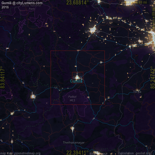
Analysis of Gumlā night lights 2016
Square area 10x10 km:
 3.37%
3.37%90-99
2.98%80-89
0%70-79
0.99%60-69
3.37%50-59
1.98%40-49
3.77%30-39
0.99%20-29
1.39%10-19
1.98%0-9
79.17%Square area 50x50 km:
0.15%90-99
0.13%80-89
0.02%70-79
0.04%60-69
0.23%50-59
0.15%40-49
0.22%30-39
0.19%20-29
0.21%10-19
0.23%0-9
98.44%Clear (daylight) street map image can be seen on geolist.org.
Map coordinates:
23° 41' 17.3" North, 83° 50' 28.2" East
23° 2' 33.6" North, 84° 32' 39.4" East
22° 23' 38.8" North, 85° 14' 50.7" East
Some cities around Gumlā sort by population:
• Ranchi
85 km =52.8 mi,  66°
66°
• Lohārdagā
45.6 km =28.3 mi,  17°
17°
• Simdega
47.7 km =29.6 mi,  185°
185°
• Khunti
75.2 km =46.7 mi,  87°
87°
• Birmitrapur
75 km =46.6 mi,  162°
162°
• Jashpurnagar
45 km =28 mi,  247°
247°
• Lātehār
78.1 km =48.5 mi,  356°
356°
• Rāy
88.3 km =54.9 mi,  36°
36°
1270722 (p: 44,951)
Sources (retrieved 2019-11-25):
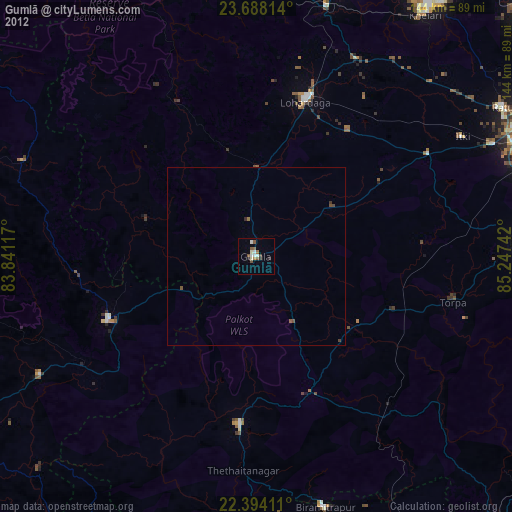
» Earth at Night: Flat Maps 2012, 2016