Chatrā night lights from space
Night Light of Chatrā (Jharkhand) from space (India) Src. Average luminocity for 10x10km area is 11.9602% and for 50x50km: 0.7592%.
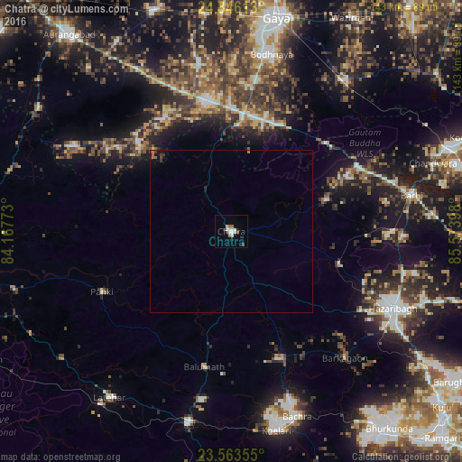
Analysis of Chatrā night lights 2016
Square area 10x10 km:
 2.84%
2.84%90-99
2.84%80-89
0.76%70-79
0.38%60-69
1.7%50-59
0.76%40-49
0.95%30-39
1.14%20-29
1.33%10-19
0.19%0-9
87.12%Square area 50x50 km:
0.12%90-99
0.12%80-89
0.03%70-79
0.03%60-69
0.16%50-59
0.09%40-49
0.09%30-39
0.17%20-29
0.1%10-19
0.17%0-9
98.92%Clear (daylight) street map image can be seen on geolist.org.
Map coordinates:
24° 50' 46.1" North, 84° 10' 3.8" East
24° 12' 23.2" North, 84° 52' 15.1" East
23° 33' 48.8" North, 85° 34' 26.3" East
Some cities around Chatrā sort by population:
• Gaya
67 km =41.6 mi,  11°
11°
• Hazāribāgh
55.2 km =34.3 mi,  115°
115°
• Bagaha
40.7 km =25.3 mi,  28°
28°
• Sherghāti
40.1 km =24.9 mi,  348°
348°
• Buddh Gaya
55.9 km =34.7 mi, 12°
• Lātehār
63.7 km =39.6 mi,  216°
216°
• patamda
56.3 km =35 mi,  79°
79°
• Rāy
61 km =37.9 mi,  162°
162°
1274536 (p: 46,844)
Sources (retrieved 2019-11-25):
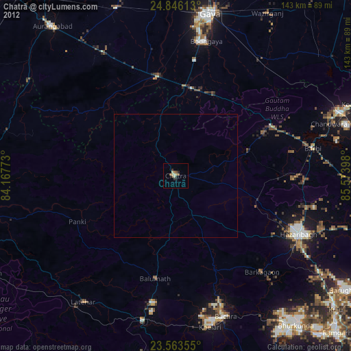
» Earth at Night: Flat Maps 2012, 2016