Lālgola night lights from space
Night Light of Lālgola (West Bengal) from space (India) Src. Average luminocity for 10x10km area is 26.7877% and for 50x50km: 12.9648%.
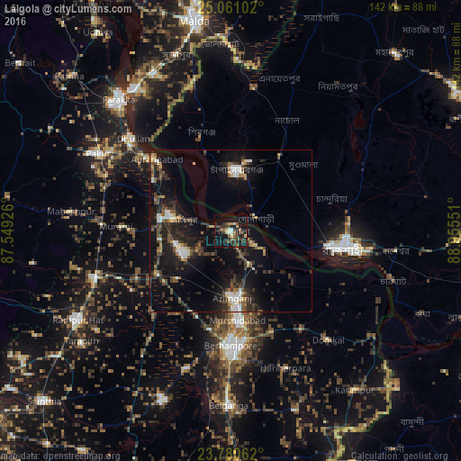
Analysis of Lālgola night lights 2016
Square area 10x10 km:
 0.99%
0.99%90-99
3.17%80-89
2.98%70-79
1.59%60-69
3.77%50-59
2.98%40-49
9.92%30-39
7.34%20-29
9.72%10-19
29.96%0-9
27.58%Square area 50x50 km:
1.26%90-99
1.73%80-89
0.89%70-79
0.95%60-69
1.03%50-59
2.04%40-49
2.79%30-39
3.58%20-29
4.58%10-19
13.24%0-9
67.92%Clear (daylight) street map image can be seen on geolist.org.
Map coordinates:
25° 3' 39.7" North, 87° 32' 57.3" East
24° 25' 20.8" North, 88° 15' 8.6" East
23° 46' 50.2" North, 88° 57' 19.8" East
Some cities around Lālgola sort by population:
• Rājshāhi, BD
35.7 km =22.2 mi,  98°
98°
• Baharampur
35.3 km =21.9 mi,  180°
180°
• Nawābganj, BD
18.8 km =11.7 mi,  6°
6°
• Jangipur
18.6 km =11.6 mi,  286°
286°
• Dhuliān
41.7 km =25.9 mi,  313°
313°
• Murshidābād
26.6 km =16.5 mi, 175°
• Shibganj, BD
30.8 km =19.1 mi,  341°
341°
• Debīpur
41.7 km =25.9 mi,  117°
117°
1265166 (p: 28,442)
Sources (retrieved 2019-11-25):
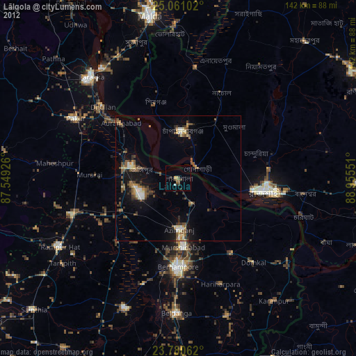
» Earth at Night: Flat Maps 2012, 2016