Murshidābād night lights from space
Night Light of Murshidābād (West Bengal) from space (India) Src. Average luminocity for 10x10km area is 61.3598% and for 50x50km: 19.097%.
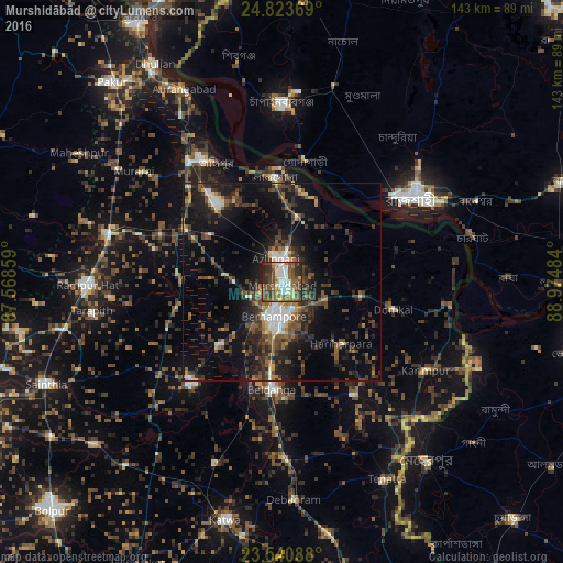
Analysis of Murshidābād night lights 2016
Square area 10x10 km:
 9.66%
9.66%90-99
13.45%80-89
6.44%70-79
3.22%60-69
10.23%50-59
18.75%40-49
18.56%30-39
8.52%20-29
10.98%10-19
0.19%0-9
0%Square area 50x50 km:
1.67%90-99
2.69%80-89
1.22%70-79
1.08%60-69
2.1%50-59
4.03%40-49
5.06%30-39
5.33%20-29
6.98%10-19
13.61%0-9
56.25%Clear (daylight) street map image can be seen on geolist.org.
Map coordinates:
24° 49' 25.3" North, 87° 34' 6.9" East
24° 11' 2" North, 88° 16' 18.2" East
23° 32' 27.2" North, 88° 58' 29.4" East
Some cities around Murshidābād sort by population:
• Rājshāhi, BD
39.5 km =24.5 mi,  57°
57°
• Baharampur
9 km =5.6 mi,  193°
193°
• Jangipur
37.5 km =23.3 mi,  328°
328°
• Kāndi
34.3 km =21.3 mi,  223°
223°
• Lālgola
26.6 km =16.5 mi,  355°
355°
• Beldānga
27.8 km =17.3 mi,  182°
182°
• Debīpur
35.9 km =22.3 mi,  78°
78°
• Karīmpur
42.2 km =26.2 mi,  123°
123°
1262412 (p: 39,557)
Sources (retrieved 2019-11-25):
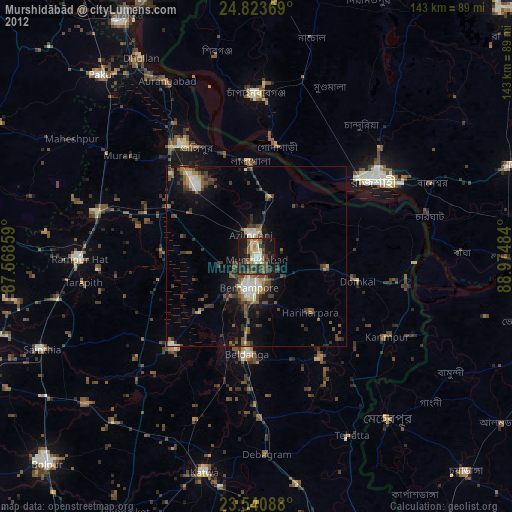
» Earth at Night: Flat Maps 2012, 2016