Rājshāhi night lights from space
Night Light of Rājshāhi (Rajshahi Division) from space (Bangladesh) Src. Average luminocity for 10x10km area is 58.752% and for 50x50km: 4.9964%.
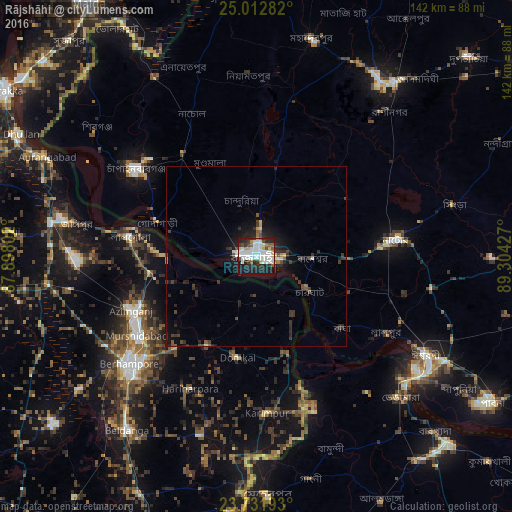
Analysis of Rājshāhi night lights 2016
Square area 10x10 km:
 15.48%
90-99
23.61%80-89
4.56%70-79
2.38%60-69
2.58%50-59
4.56%40-49
3.17%30-39
4.37%20-29
21.43%10-19
17.26%0-9
0.6%Square area 50x50 km:
0.63%90-99
1.16%80-89
0.29%70-79
0.23%60-69
0.29%50-59
0.47%40-49
0.71%30-39
1.16%20-29
2.38%10-19
3.87%0-9
88.8%Clear (daylight) street map image can be seen on geolist.org.
Map coordinates:
25° 0' 46.2" North, 87° 53' 52.9" East
24° 22' 26.4" North, 88° 36' 4.1" East
23° 43' 54.9" North, 89° 18' 15.4" East
Some cities around Rājshāhi sort by population:
• Natore
39.3 km =24.4 mi,  83°
83°
• Baharampur, IN
46.4 km =28.8 mi,  229°
229°
• Puthia
23.6 km =14.7 mi,  92°
92°
• Nawābganj
40.9 km =25.4 mi,  306°
306°
• Murshidābād, IN
39.5 km =24.5 mi,  237°
237°
• Lālgola, IN
35.7 km =22.2 mi,  278°
278°
• Debīpur, IN
13.9 km =8.6 mi,  172°
172°
• Karīmpur, IN
44.3 km =27.5 mi,  177°
177°
1185128 (p: 700,133)
Sources (retrieved 2019-11-25):
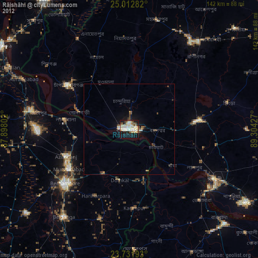
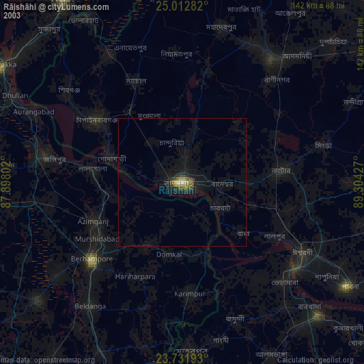
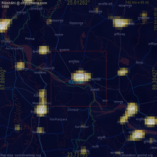
» NASA, Earths city lights 1995
» NASA city lights 2003
» Earth at Night: Flat Maps 2012, 2016