Shibganj night lights from space
Night Light of Shibganj (Rajshahi Division) from space (Bangladesh) Src. Average luminocity for 10x10km area is 2.4365% and for 50x50km: 12.9673%.
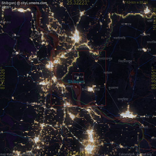
Analysis of Shibganj night lights 2016
Square area 10x10 km:
 0%
0%90-99
0%80-89
0%70-79
0.79%60-69
0%50-59
1.19%40-49
0.99%30-39
0.2%20-29
1.59%10-19
0%0-9
95.24%Square area 50x50 km:
1%90-99
1.6%80-89
1.02%70-79
1.45%60-69
1.45%50-59
2.38%40-49
2.58%30-39
2.79%20-29
4.46%10-19
12.91%0-9
68.36%Clear (daylight) street map image can be seen on geolist.org.
Map coordinates:
25° 19' 20" North, 87° 27' 11.7" East
24° 41' 6" North, 88° 9' 23" East
24° 2' 40.2" North, 88° 51' 34.2" East
Some cities around Shibganj sort by population:
• Ingrāj Bāzār, IN
35.5 km =22.1 mi,  358°
358°
• Nawābganj
15.9 km =9.9 mi,  131°
131°
• Jangipur, IN
25.2 km =15.7 mi,  198°
198°
• Dhuliān, IN
20.5 km =12.7 mi,  268°
268°
• Pakur, IN
32.1 km =19.9 mi,  260°
260°
• Lālgola, IN
30.8 km =19.1 mi,  161°
161°
• Farakka, IN
29.7 km =18.5 mi,  299°
299°
• Rājmahal, IN
52.5 km =32.6 mi,  321°
321°
1185108 (p: 35,961)
Sources (retrieved 2019-11-25):
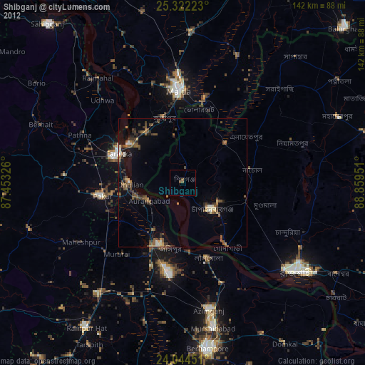
» Earth at Night: Flat Maps 2012, 2016