Dhuliān night lights from space
Night Light of Dhuliān (West Bengal) from space (India) Src. Average luminocity for 10x10km area is 33.119% and for 50x50km: 17.2678%.
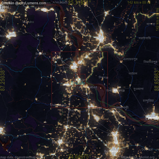
Analysis of Dhuliān night lights 2016
Square area 10x10 km:
 2.78%
2.78%90-99
4.96%80-89
1.98%70-79
3.77%60-69
5.16%50-59
6.35%40-49
2.38%30-39
10.12%20-29
15.28%10-19
38.49%0-9
8.73%Square area 50x50 km:
1.32%90-99
1.92%80-89
1.38%70-79
1.71%60-69
2.05%50-59
3.21%40-49
3.85%30-39
3.95%20-29
6.46%10-19
16.65%0-9
57.49%Clear (daylight) street map image can be seen on geolist.org.
Map coordinates:
25° 19' 6.6" North, 87° 15' 1.4" East
24° 40' 52.6" North, 87° 57' 12.6" East
24° 2' 26.7" North, 88° 39' 23.9" East
Some cities around Dhuliān sort by population:
• Ingrāj Bāzār
40.8 km =25.4 mi,  28°
28°
• Nawābganj, BD
34 km =21.1 mi,  107°
107°
• Jangipur
26.6 km =16.5 mi,  152°
152°
• Pakur
12.2 km =7.6 mi,  247°
247°
• Shibganj, BD
20.5 km =12.7 mi,  88°
88°
• Lālgola
41.7 km =25.9 mi,  133°
133°
• Farakka
16 km =9.9 mi,  340°
340°
• Rājmahal
43.2 km =26.8 mi, 343°
1272689 (p: 77,070)
Sources (retrieved 2019-11-25):
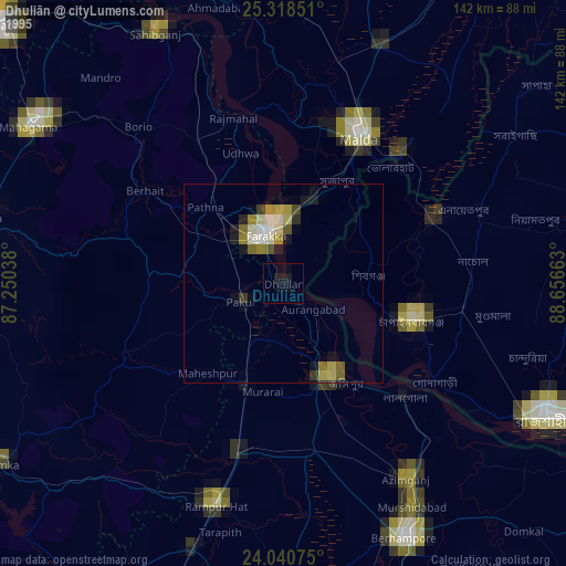
» NASA, Earths city lights 1995
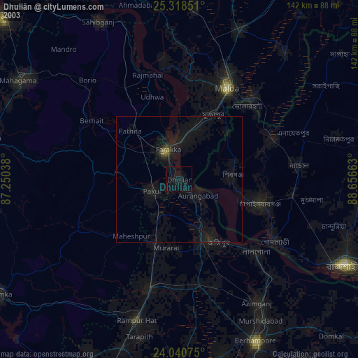
» NASA city lights 2003
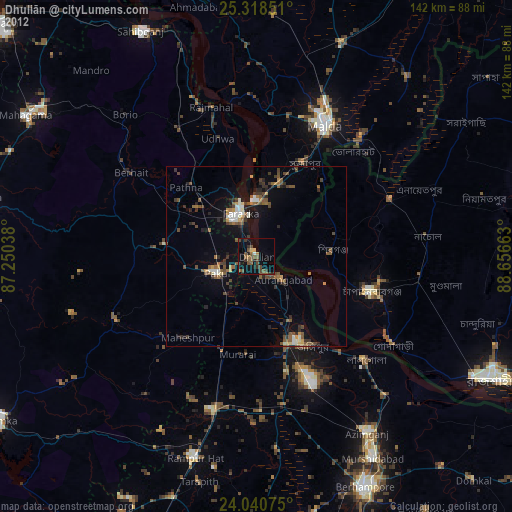
» Earth at Night: Flat Maps 2012, 2016