Lālam night lights from space
Night Light of Lālam (Kerala) from space (India) Src. Average luminocity for 10x10km area is 2.0996% and for 50x50km: 1.6636%.
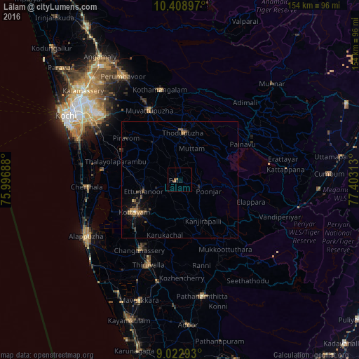
Analysis of Lālam night lights 2016
Square area 10x10 km:
 0%
0%90-99
0%80-89
0%70-79
0%60-69
1.3%50-59
1.3%40-49
0.87%30-39
0%20-29
0%10-19
0.65%0-9
95.89%Square area 50x50 km:
0%90-99
0.04%80-89
0.1%70-79
0.22%60-69
0.52%50-59
0.37%40-49
0.28%30-39
0.34%20-29
0.76%10-19
0.94%0-9
96.44%Clear (daylight) street map image can be seen on geolist.org.
Map coordinates:
10° 24' 32.3" North, 75° 59' 48.8" East
9° 43' 0" North, 76° 42' 0" East
9° 1' 22.5" North, 77° 24' 11.3" East
Some cities around Lālam sort by population:
• Kottayam
24.3 km =15.1 mi,  233°
233°
• Erāttupetta
9.2 km =5.7 mi,  110°
110°
• Mūvattupula
32.7 km =20.3 mi,  335°
335°
• Muvattupuzha
32.4 km =20.1 mi,  334°
334°
• Piravam
27.5 km =17.1 mi,  307°
307°
• Vaikam
33.5 km =20.8 mi,  276°
276°
• Idukki
32.8 km =20.4 mi,  63°
63°
• Rāmamangalam
32.6 km =20.3 mi,  317°
317°
1265184 (p: 8,571)
Sources (retrieved 2019-11-25):
» Earth at Night: Flat Maps 2012, 2016