Kottayam night lights from space
Night Light of Kottayam (Kerala) from space (India) Src. Average luminocity for 10x10km area is 23.0584% and for 50x50km: 4.0901%.
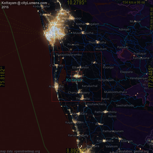
Analysis of Kottayam night lights 2016
Square area 10x10 km:
 0%
0%90-99
1.08%80-89
1.73%70-79
4.98%60-69
7.79%50-59
2.81%40-49
4.11%30-39
5.19%20-29
7.79%10-19
15.37%0-9
49.13%Square area 50x50 km:
0.02%90-99
0.1%80-89
0.35%70-79
0.57%60-69
1.07%50-59
0.92%40-49
0.84%30-39
0.92%20-29
1.33%10-19
2.08%0-9
91.8%Clear (daylight) street map image can be seen on geolist.org.
Map coordinates:
10° 16' 46.2" North, 75° 49' 5.5" East
9° 35' 12.9" North, 76° 31' 16.8" East
8° 53' 34.5" North, 77° 13' 28" East
Some cities around Kottayam sort by population:
• Alappuzha
23.9 km =14.9 mi,  243°
243°
• Tiruvalla
23.6 km =14.7 mi,  165°
165°
• Changanācheri
16.2 km =10.1 mi, 174°
• Cherthala
23.1 km =14.4 mi,  298°
298°
• Shertallai
22.7 km =14.1 mi, 298°
• Kalavoor
21.3 km =13.2 mi,  265°
265°
• Vaikam
22.6 km =14 mi,  322°
322°
• Lālam
24.3 km =15.1 mi,  53°
53°
1265911 (p: 59,437)
Sources (retrieved 2019-11-25):
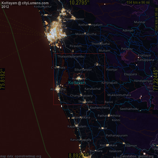
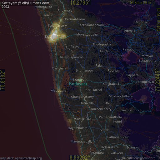
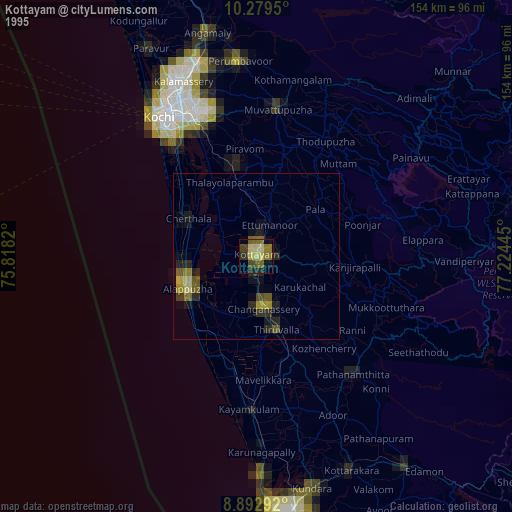
» NASA, Earths city lights 1995
» NASA city lights 2003
» Earth at Night: Flat Maps 2012, 2016