Muvattupuzha night lights from space
Night Light of Muvattupuzha (Kerala) from space (India) Src. Average luminocity for 10x10km area is 6.9959% and for 50x50km: 9.8444%.
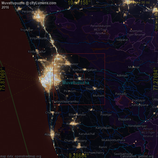
Analysis of Muvattupuzha night lights 2016
Square area 10x10 km:
 0%
0%90-99
0%80-89
0%70-79
2.48%60-69
2.27%50-59
0.21%40-49
1.24%30-39
3.93%20-29
1.24%10-19
2.69%0-9
85.95%Square area 50x50 km:
0.45%90-99
0.89%80-89
1.23%70-79
2.45%60-69
2.11%50-59
1.99%40-49
2.31%30-39
2.13%20-29
2.1%10-19
3.81%0-9
80.51%Clear (daylight) street map image can be seen on geolist.org.
Map coordinates:
10° 40' 17.7" North, 75° 52' 14.5" East
9° 58' 47.5" North, 76° 34' 25.7" East
9° 17' 11.9" North, 77° 16' 37" East
Some cities around Muvattupuzha sort by population:
• Kotamangalam
11.1 km =6.9 mi,  32°
32°
• Piravam
15 km =9.3 mi,  212°
212°
• Perumpāvūr
18.5 km =11.5 mi,  324°
324°
• Perumbavoor
17.9 km =11.1 mi, 322°
• Kuttampuzha
25.9 km =16.1 mi,  43°
43°
• Alwaye
27.8 km =17.3 mi,  300°
300°
• Arukutti
27.6 km =17.1 mi,  242°
242°
• Rāmamangalam
9.6 km =6 mi, 237°
7279735 (p: 29,246)
Sources (retrieved 2019-11-25):
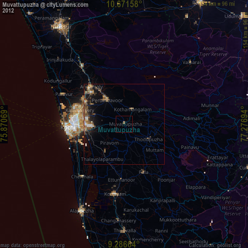
» Earth at Night: Flat Maps 2012, 2016