Erāttupetta night lights from space
Night Light of Erāttupetta (Kerala) from space (India) Src. Average luminocity for 10x10km area is 0.4524% and for 50x50km: 0.6877%.
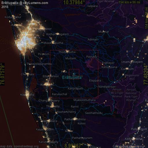
Analysis of Erāttupetta night lights 2016
Square area 10x10 km:
 0%
0%90-99
0%80-89
0%70-79
0%60-69
0%50-59
0%40-49
0%30-39
0%20-29
1.73%10-19
0%0-9
98.27%Square area 50x50 km:
0%90-99
0%80-89
0%70-79
0.04%60-69
0.23%50-59
0.28%40-49
0.11%30-39
0.13%20-29
0.35%10-19
0.37%0-9
98.5%Clear (daylight) street map image can be seen on geolist.org.
Map coordinates:
10° 22' 47.4" North, 76° 4' 32.8" East
9° 41' 14.9" North, 76° 46' 44.1" East
8° 59' 37.2" North, 77° 28' 55.3" East
Some cities around Erāttupetta sort by population:
• Kottayam
30.4 km =18.9 mi,  248°
248°
• Tiruvalla
40.7 km =25.3 mi,  213°
213°
• Changanācheri
38.1 km =23.7 mi,  224°
224°
• Mūvattupula
39.8 km =24.7 mi,  326°
326°
• Muvattupuzha
39.5 km =24.5 mi, 325°
• Piravam
36.5 km =22.7 mi,  303°
303°
• Idukki
27.4 km =17 mi,  48°
48°
• Lālam
9.2 km =5.7 mi,  290°
290°
1272022 (p: 33,408)
Sources (retrieved 2019-11-25):
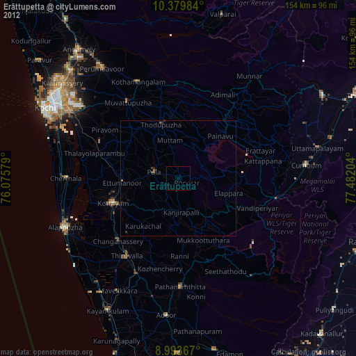
» Earth at Night: Flat Maps 2012, 2016