Tirur night lights from space
Night Light of Tirur (Kerala) from space (India) Src. Average luminocity for 10x10km area is 3.4048% and for 50x50km: 0.6449%.
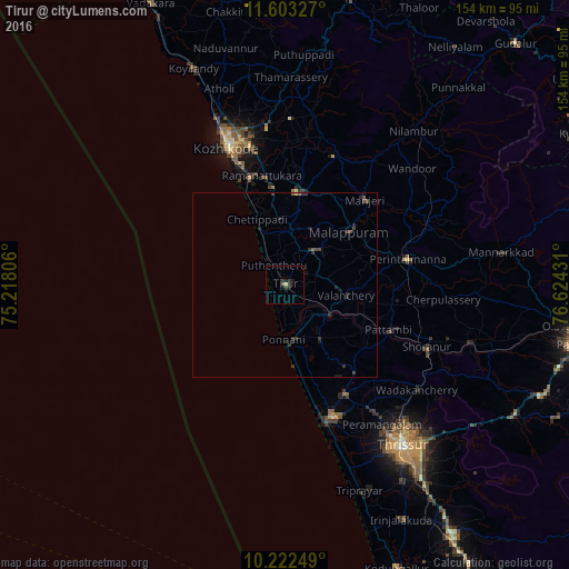
Analysis of Tirur night lights 2016
Square area 10x10 km:
 0%
0%90-99
0%80-89
0.87%70-79
0%60-69
0%50-59
0.87%40-49
0.87%30-39
1.3%20-29
2.16%10-19
3.46%0-9
90.48%Square area 50x50 km:
0%90-99
0%80-89
0.07%70-79
0%60-69
0.05%50-59
0.11%40-49
0.24%30-39
0.35%20-29
0.54%10-19
0.41%0-9
98.24%Clear (daylight) street map image can be seen on geolist.org.
Map coordinates:
11° 36' 11.8" North, 75° 13' 5" East
10° 54' 49.2" North, 75° 55' 16.2" East
10° 13' 21" North, 76° 37' 27.5" East
Some cities around Tirur sort by population:
• Ponnāni
16.3 km =10.1 mi,  178°
178°
• Manjeri
31.6 km =19.6 mi,  43°
43°
• Beypore
31.3 km =19.4 mi,  336°
336°
• Kunnamkulam
33.7 km =20.9 mi,  151°
151°
• Malappuram
22.6 km =14 mi,  50°
50°
• Ferokh
30.9 km =19.2 mi, 343°
• Pariyāpuram
12.9 km =8 mi,  332°
332°
• Guruvāyūr
37.9 km =23.5 mi,  159°
159°
1254346 (p: 54,934)
Sources (retrieved 2019-11-25):
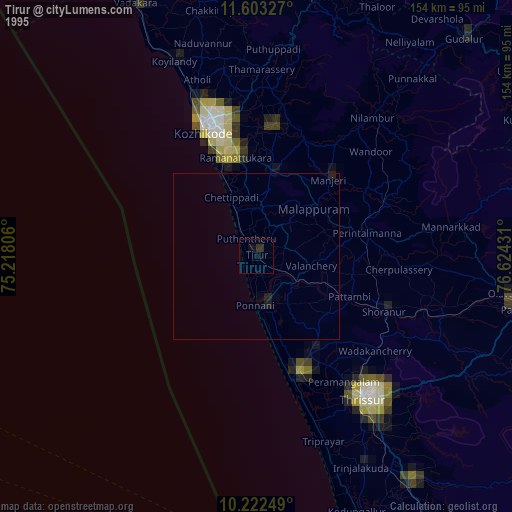
» NASA, Earths city lights 1995
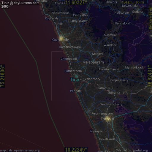
» NASA city lights 2003
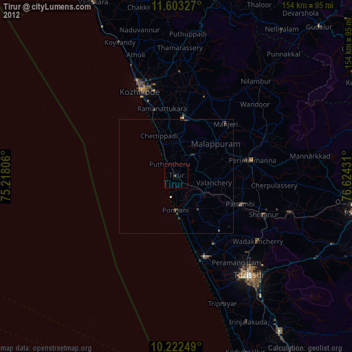
» Earth at Night: Flat Maps 2012, 2016