Krishnanagar night lights from space
Night Light of Krishnanagar (West Bengal) from space (India) Src. Average luminocity for 10x10km area is 55.0587% and for 50x50km: 21.5248%.
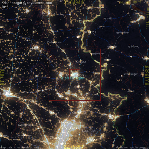
Analysis of Krishnanagar night lights 2016
Square area 10x10 km:
 6.82%
6.82%90-99
18.94%80-89
3.79%70-79
3.22%60-69
7.58%50-59
7.58%40-49
12.31%30-39
10.04%20-29
24.62%10-19
5.11%0-9
0%Square area 50x50 km:
0.76%90-99
2.79%80-89
1.62%70-79
2.2%60-69
2.35%50-59
3.62%40-49
5.66%30-39
5.95%20-29
10.93%10-19
21.05%0-9
43.09%Clear (daylight) street map image can be seen on geolist.org.
Map coordinates:
24° 2' 58" North, 87° 47' 15.4" East
23° 24' 20.7" North, 88° 29' 26.6" East
22° 45' 32.1" North, 89° 11' 37.9" East
Some cities around Krishnanagar sort by population:
• Shāntipur
18.6 km =11.6 mi,  198°
198°
• Navadwīp
12.5 km =7.8 mi,  270°
270°
• Rānāghāt
26.7 km =16.6 mi,  163°
163°
• Kālna
24.5 km =15.2 mi,  212°
212°
• Pandua
42.3 km =26.3 mi, 209°
• Bagulā
17.2 km =10.7 mi,  116°
116°
• Aistala
26.7 km =16.6 mi, 160°
• Muragācha
17.5 km =10.9 mi,  325°
325°
1265859 (p: 145,926)
Sources (retrieved 2019-11-25):
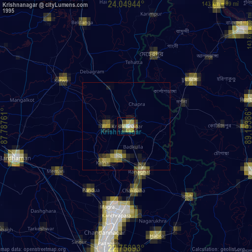
» NASA, Earths city lights 1995
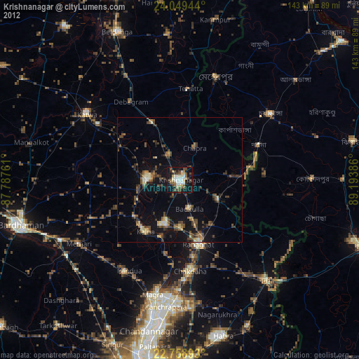
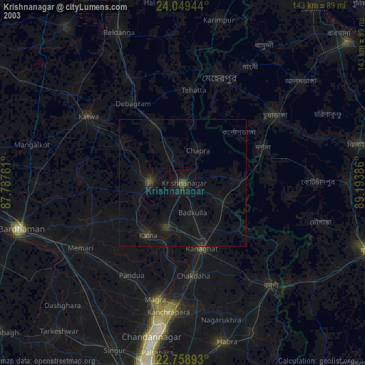
» NASA city lights 2003
» Earth at Night: Flat Maps 2012, 2016