Pandua night lights from space
Night Light of Pandua (West Bengal) from space (India) Src. Average luminocity for 10x10km area is 27.7443% and for 50x50km: 34.3635%.
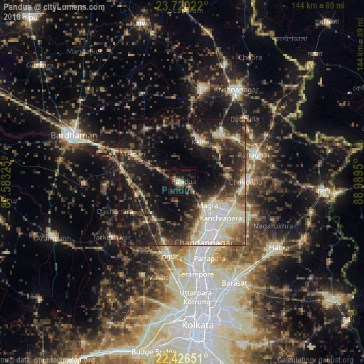
Analysis of Pandua night lights 2016
Square area 10x10 km:
 0.38%
0.38%90-99
6.82%80-89
2.27%70-79
0.38%60-69
1.52%50-59
7.2%40-49
5.68%30-39
8.14%20-29
9.28%10-19
40.53%0-9
17.8%Square area 50x50 km:
3.23%90-99
8.24%80-89
3.16%70-79
3.18%60-69
3.33%50-59
5.49%40-49
6.83%30-39
8.04%20-29
12.19%10-19
23.63%0-9
22.68%Clear (daylight) street map image can be seen on geolist.org.
Map coordinates:
23° 43' 12.8" North, 87° 34' 59.7" East
23° 4' 29.7" North, 88° 17' 10.9" East
22° 25' 35.4" North, 88° 59' 22.2" East
Some cities around Pandua sort by population:
• Hugli
21.7 km =13.5 mi,  148°
148°
• Kānchrāpāra
19.4 km =12.1 mi,  131°
131°
• Hālīsahar
20.9 km =13 mi,  139°
139°
• Bānsbāria
17.9 km =11.1 mi, 138°
• Kālna
17.9 km =11.1 mi,  25°
25°
• Kesabpur
12.1 km =7.5 mi,  191°
191°
• Bāgnān
21.8 km =13.5 mi,  223°
223°
• Haripur
16.4 km =10.2 mi,  199°
199°
1260527 (p: 28,205)
Sources (retrieved 2019-11-25):
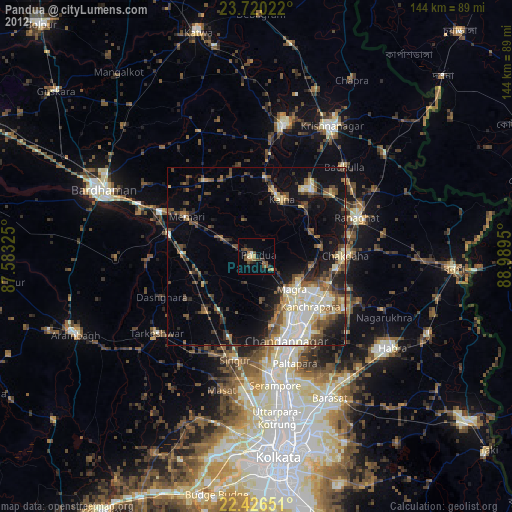
» Earth at Night: Flat Maps 2012, 2016