Kālna night lights from space
Night Light of Kālna (West Bengal) from space (India) Src. Average luminocity for 10x10km area is 36.4659% and for 50x50km: 27.617%.
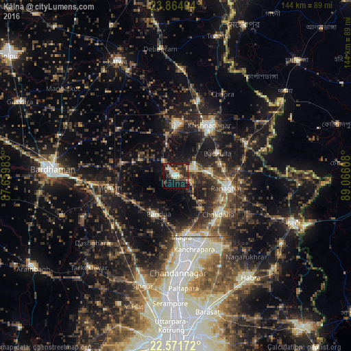
Analysis of Kālna night lights 2016
Square area 10x10 km:
 3.22%
3.22%90-99
6.06%80-89
5.11%70-79
4.92%60-69
1.89%50-59
5.49%40-49
8.14%30-39
8.71%20-29
16.29%10-19
32.58%0-9
7.58%Square area 50x50 km:
1.23%90-99
4.56%80-89
2.17%70-79
2.82%60-69
3.15%50-59
5.19%40-49
7.44%30-39
7.47%20-29
12.38%10-19
21.22%0-9
32.36%Clear (daylight) street map image can be seen on geolist.org.
Map coordinates:
23° 51' 50.5" North, 87° 39' 35.4" East
23° 13' 10" North, 88° 21' 46.6" East
22° 34' 18.2" North, 89° 3' 57.9" East
Some cities around Kālna sort by population:
• Shāntipur
7.8 km =4.8 mi,  66°
66°
• Krishnanagar
24.5 km =15.2 mi,  32°
32°
• Navadwīp
20.8 km =12.9 mi,  1°
1°
• Rānāghāt
21.4 km =13.3 mi,  102°
102°
• Memāri
27.5 km =17.1 mi,  260°
260°
• Pandua
17.9 km =11.1 mi,  205°
205°
• Aistala
22.6 km =14 mi, 101°
• Madanpur
27.1 km =16.8 mi,  150°
150°
1268341 (p: 53,964)
Sources (retrieved 2019-11-25):
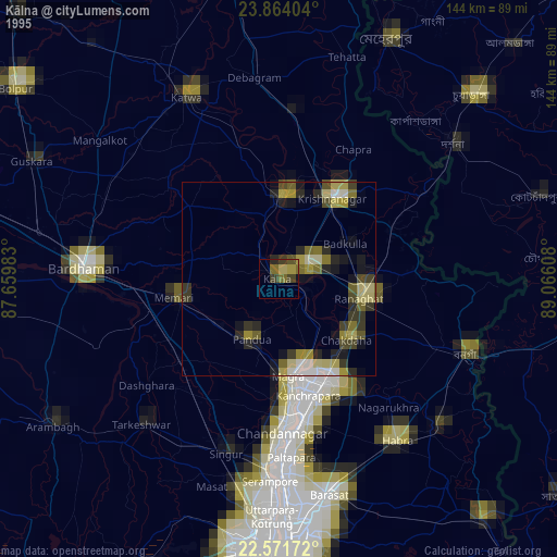
» NASA, Earths city lights 1995
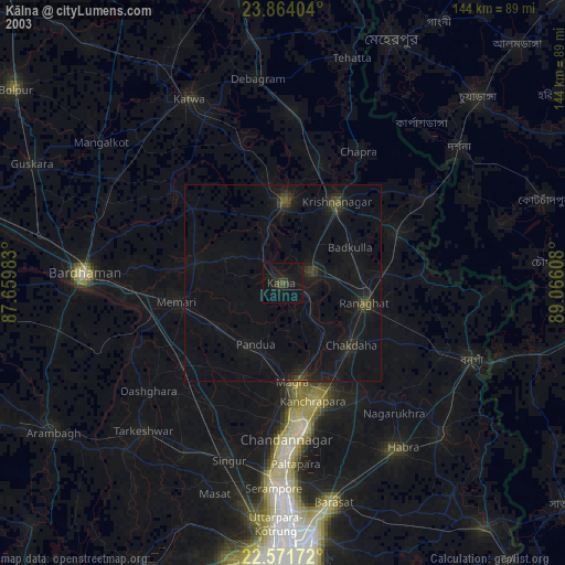
» NASA city lights 2003
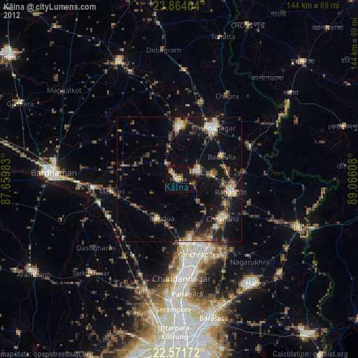
» Earth at Night: Flat Maps 2012, 2016