Bagulā night lights from space
Night Light of Bagulā (West Bengal) from space (India) Src. Average luminocity for 10x10km area is 27.7386% and for 50x50km: 22.5915%.
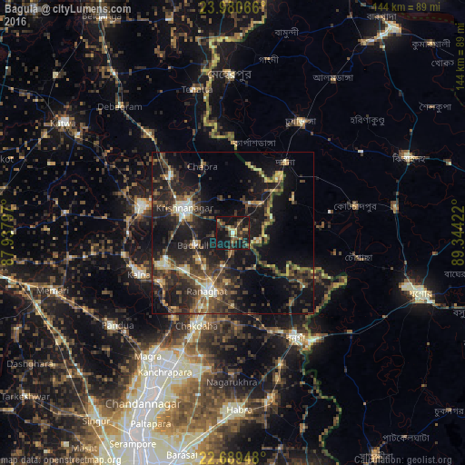
Analysis of Bagulā night lights 2016
Square area 10x10 km:
 0.19%
0.19%90-99
0.76%80-89
3.98%70-79
3.03%60-69
3.03%50-59
4.73%40-49
6.44%30-39
13.26%20-29
11.17%10-19
45.08%0-9
8.33%Square area 50x50 km:
0.71%90-99
2.73%80-89
1.99%70-79
2.15%60-69
2.76%50-59
4.15%40-49
6.35%30-39
6.19%20-29
11.12%10-19
21.65%0-9
40.19%Clear (daylight) street map image can be seen on geolist.org.
Map coordinates:
23° 58' 50.4" North, 87° 56' 16.7" East
23° 20' 11.9" North, 88° 38' 27.9" East
22° 41' 22.1" North, 89° 20' 39.2" East
Some cities around Bagulā sort by population:
• Shāntipur
23.5 km =14.6 mi,  244°
244°
• Krishnanagar
17.2 km =10.7 mi,  296°
296°
• Bangaon
37.7 km =23.4 mi,  149°
149°
• Navadwīp
28.9 km =18 mi,  285°
285°
• Rānāghāt
19.4 km =12.1 mi,  203°
203°
• Kālna
31.3 km =19.4 mi,  245°
245°
• Aistala
18.5 km =11.5 mi, 199°
• Muragācha
33.6 km =20.9 mi,  311°
311°
1277844 (p: 20,999)
Sources (retrieved 2019-11-25):
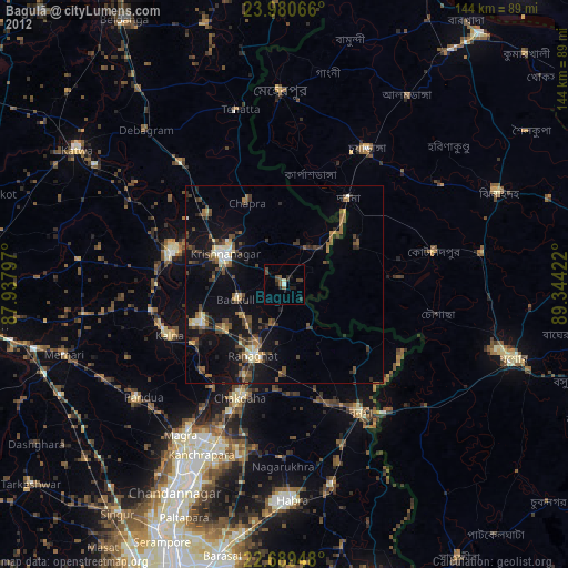
» Earth at Night: Flat Maps 2012, 2016