Rānāghāt night lights from space
Night Light of Rānāghāt (West Bengal) from space (India) Src. Average luminocity for 10x10km area is 62.7708% and for 50x50km: 31.104%.
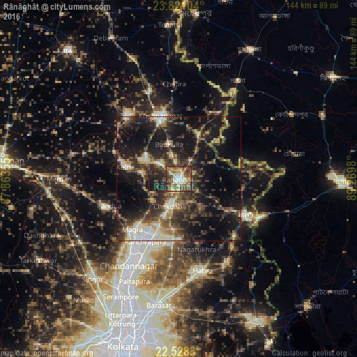
Analysis of Rānāghāt night lights 2016
Square area 10x10 km:
 4.92%
4.92%90-99
16.1%80-89
7.77%70-79
7.2%60-69
10.04%50-59
19.13%40-49
20.83%30-39
10.23%20-29
3.79%10-19
0%0-9
0%Square area 50x50 km:
1.86%90-99
5.81%80-89
2.72%70-79
3.07%60-69
3.48%50-59
5.26%40-49
7.67%30-39
8.67%20-29
13.42%10-19
23.41%0-9
24.65%Clear (daylight) street map image can be seen on geolist.org.
Map coordinates:
23° 49' 15.7" North, 87° 51' 48.8" East
23° 10' 34.4" North, 88° 34' 0" East
22° 31' 41.9" North, 89° 16' 11.3" East
Some cities around Rānāghāt sort by population:
• Shāntipur
15.8 km =9.8 mi,  300°
300°
• Krishnanagar
26.7 km =16.6 mi,  343°
343°
• Kalyani
23.1 km =14.4 mi,  201°
201°
• Kālna
21.4 km =13.3 mi,  282°
282°
• Bagulā
19.4 km =12.1 mi,  23°
23°
• Aistala
1.4 km =0.9 mi,  72°
72°
• Madanpur
20.4 km =12.7 mi, 202°
• Haringhāta
23.5 km =14.6 mi,  178°
178°
1258546 (p: 70,984)
Sources (retrieved 2019-11-25):
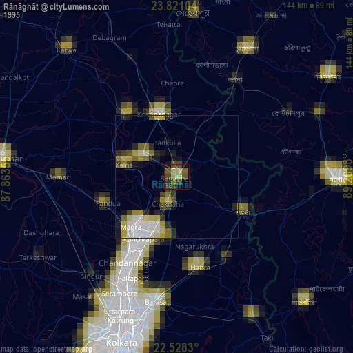
» NASA, Earths city lights 1995
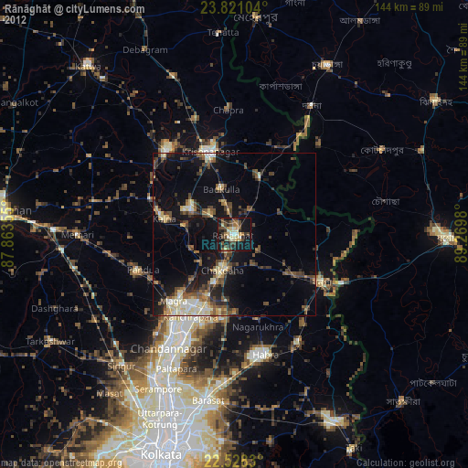
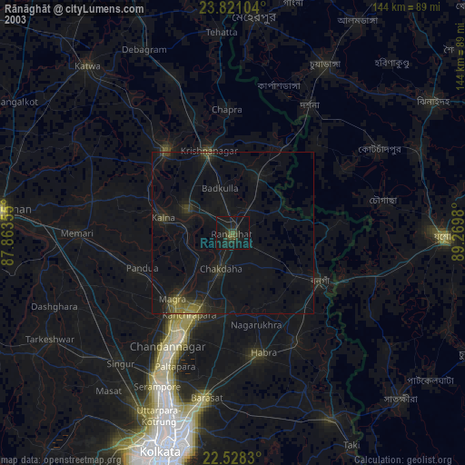
» NASA city lights 2003
» Earth at Night: Flat Maps 2012, 2016